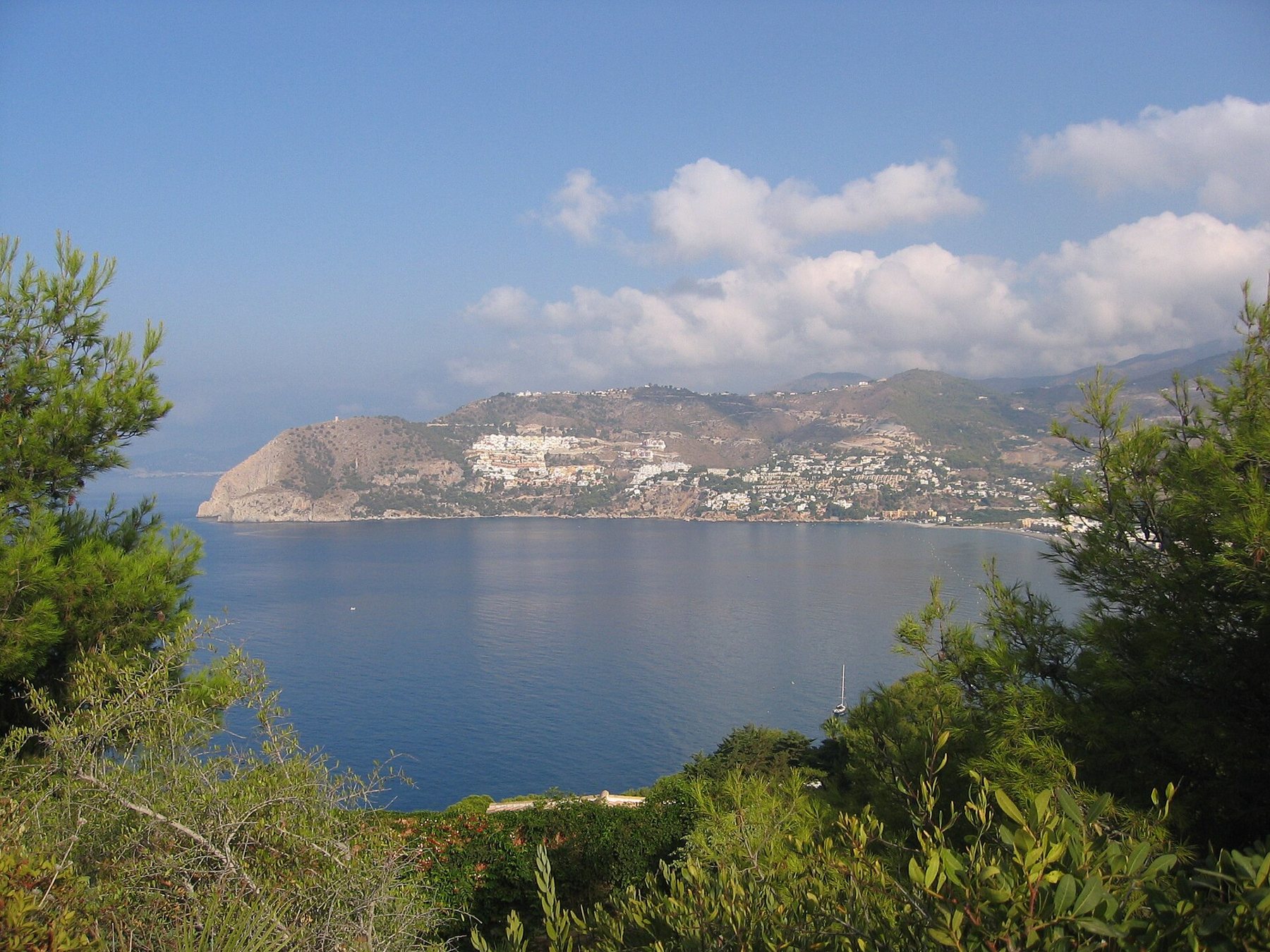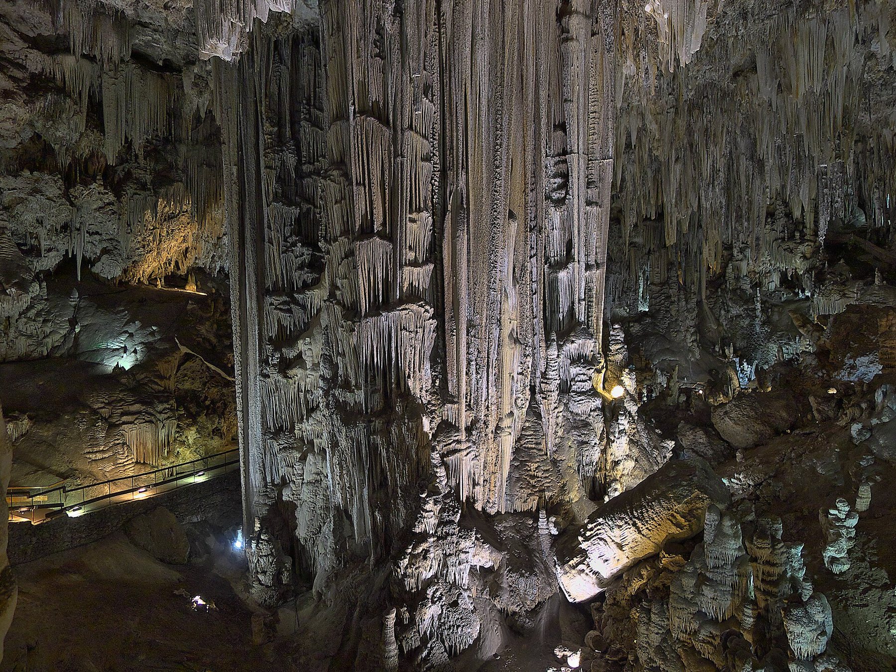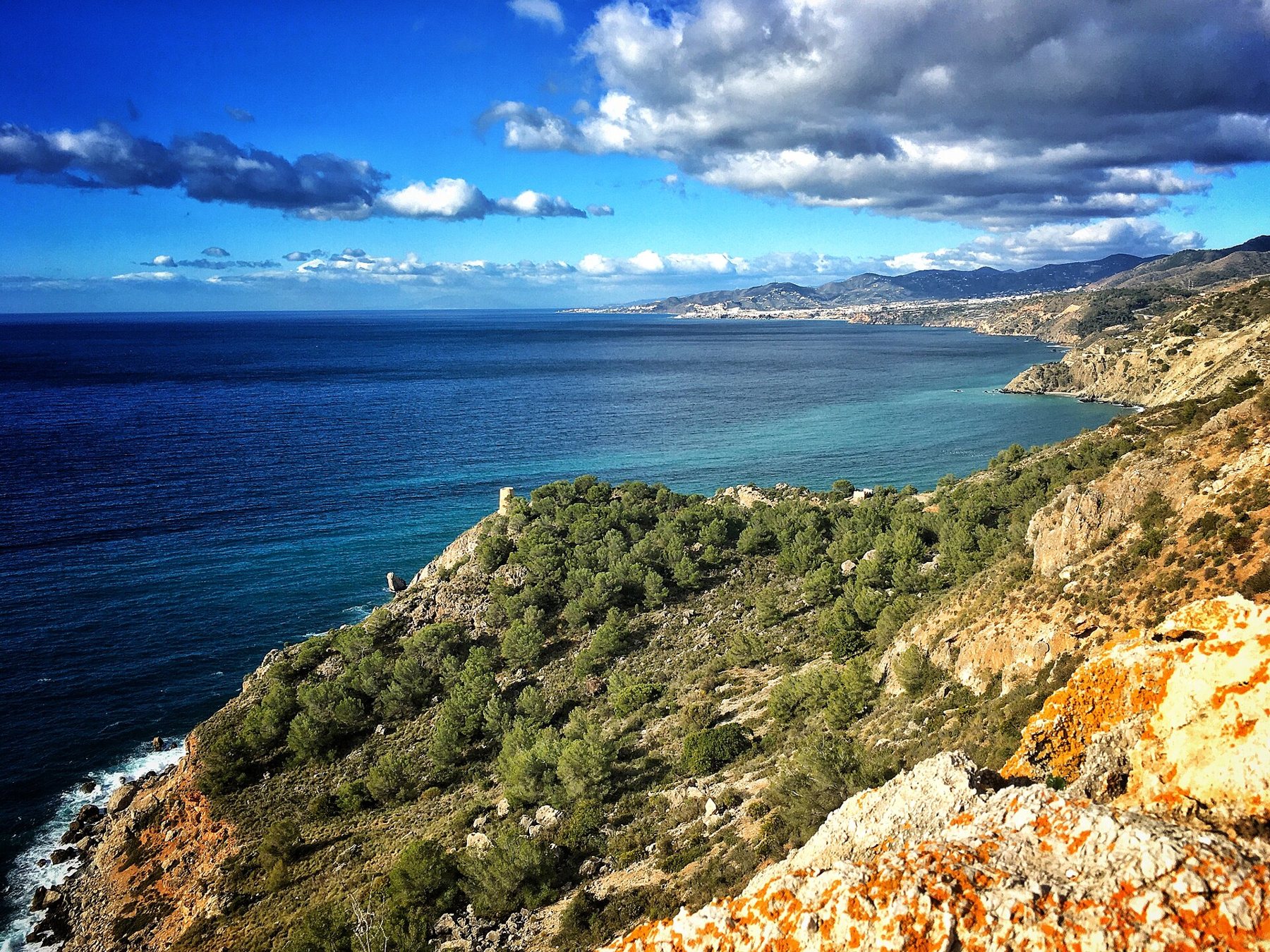
Just a 15-minute drive west of Playa Tropical, the buildings come to an end. From Cerro Gordo to Maro, the mountains plunge sheer into the sea, and tucked between the crags lie secluded little beaches accessible only on foot, by minibus or from the water. Here is your guide to the Acantilados de Maro-Cerro Gordo natural area: the beaches of Cantarriján, El Cañuelo, Las Alberquillas and Maro, the historic watchtowers, kayaking and snorkelling – plus the vehicle restrictions in summer.
The natural area – wild coast between two provinces
Acantilados de Maro-Cerro Gordo translates as "the cliffs from Maro to Cerro Gordo". The reserve straddles the boundary between Granada province (Almuñécar/La Herradura) and Málaga province (Nerja). It was designated a protected Paraje Natural in 1989 and enlarged in 2015. In total it encompasses around 1,913 hectares, four-fifths of which is marine reserve. It is also designated a Specially Protected Area of Mediterranean Importance (SPAMI/ZEPIM) and forms part of the EU's Natura 2000 network.
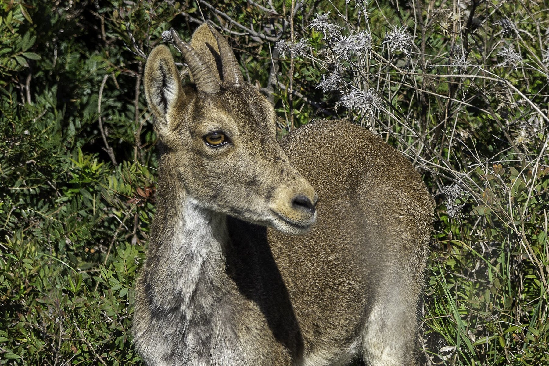
The cliffs represent the seaward foothills of the Sierras de Tejeda, Almijara y Alhama mountain range, rising up to 250 metres above sea level. Pine trees, mastic bushes and dwarf fan palms cling to the slopes, and in winter Iberian ibex (cabra montés) make their way right down onto the beaches. Overhead, you can spot peregrine falcons, kestrels and yellow-legged gulls.

Under the water it is every bit as vibrant. Three of the four types of seagrass found off the Andalusian coast thrive here, notably Posidonia oceanica, and at El Cañuelo the orange star coral Astroides calycularis clings to the rocks. This makes the area one of the premier snorkelling and diving locations on the entire coast.
The beaches – from east to west
Driving from Playa Tropical, you encounter the beaches in this order. All lie at the foot of the cliffs, reached by steep tracks or footpaths.
| Beach | Getting down | Facilities | From Playa Tropical |
|---|---|---|---|
| Cantarriján | Shuttle bus in summer, otherwise by car or 1.5 km on foot | Two beachfront restaurants, showers. Naturist beach | 13 km to the car park |
| El Cañuelo | Minibus in summer or a 20-min walk | Two beach bars. No public toilets | 14 km to the car park |
| Las Alberquillas | Steep footpath from the N-340 | None – bring everything you need | 17 km |
| Maro | Shuttle bus from Maro or 15–20 min on foot | Beach bar, toilets, showers, kayak rental, lifeguard in season. Blue Flag 2026 | 23 km |
Playa Cantarriján – the naturist beach
Cantarriján is the first beach in Granada province when arriving from the west, falling under the municipality of La Herradura and Almuñécar. It stretches around 380 metres with pebbles and sand, and the water is generally calm and crystalline. The beach is widely known as a naturist beach. According to Spanish Wikipedia, naturism is permitted along the whole bay; in practice, the first cove is mixed, while the second cove beyond the rocks is predominantly naturist. You are under no obligation to bathe naked, but do show consideration and refrain from taking photos of others. In 2017, Cantarriján became the first naturist beach to receive an environmental quality certification.
There are two beach restaurants in the main cove. One of them, La Barraca, is renowned for its fresh seafood and, according to local guides, remains open outside the main summer season as well. Showers are provided, though we have not located public toilets – you can use those in the restaurants.

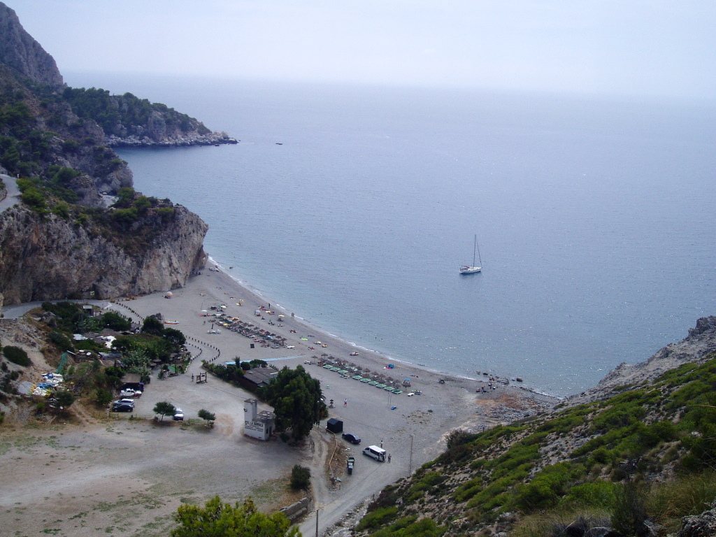
El Cañuelo – the clear cove at Peñón del Fraile
El Cañuelo is the easternmost beach in Málaga province, sitting just over the border in Nerja municipality. Turn off the N-340 at the roundabout at km 302, where there is a large, free car park. A narrow lane descends from there to the shore. In summer, private cars are not permitted down: a shuttle minibus operates throughout the day. The Junta de Andalucía announced that the service started on 6 June 2026. According to the local guide esnerja.com, a return ticket cost 2.60 € (≈ 19.40 kr.) in 2026 (cash only), running roughly every 15 minutes from 10:00. Walking takes around 20 minutes down and a good half hour back up.
The beach has two beach bars, Las Piedras and El Paraíso del Cañuelo, offering sunbed hire. There are no public toilets or showers – the bars provide toilets for their patrons. Just offshore stands the striking rock Peñón del Fraile ("the friar's rock"), making this one of the area's top spots for snorkelling.
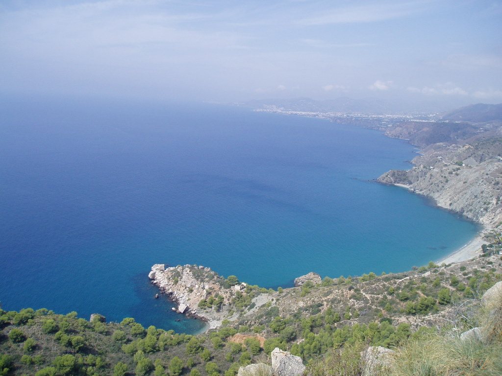
Las Alberquillas – for those seeking total peace
Las Alberquillas is a long, wild stretch of shingle and stones between El Cañuelo and Maro, marked by tall rock pillars in the surf. There is no vehicle access, no bar, and no toilets. You park on a gravel area along the N-340 and walk a couple of hundred metres down a very steep trail. Be sure to bring water, shade and sturdy footwear – and keep in mind that the climb back up is demanding in the heat. Local guides note that naturism is common here.

Playa de Maro – with kayaking, facilities and a waterfall
Maro beach lies tucked below the picturesque white village of Maro, just a few minutes from the Nerja Caves. The beach features a mix of sand and shingle, a beach bar, toilets and showers, seasonal lifeguards, and holds a Blue Flag for 2026. Kayaks and paddleboards can be hired right on the beach.
During summer, Nerja Town Hall manages vehicular access down to the cove. In 2026, a shuttle bus ran from 12 June to 15 September, daily between 10:00 and 20:30, with a return ticket costing 3 € (≈ 22.38 kr.). Local guides advise using the free new car park in Maro (approx. 100 bays) and catching the shuttle from there – or walking the 15–20 minutes down the steep hill.
Roughly 500 metres west along the coast, Cascada de Maro, a natural waterfall, drops straight into the sea. There is no footpath leading to it – it can only be admired from a kayak or paddleboard.

The watchtowers – the coast's ancient early-warning system
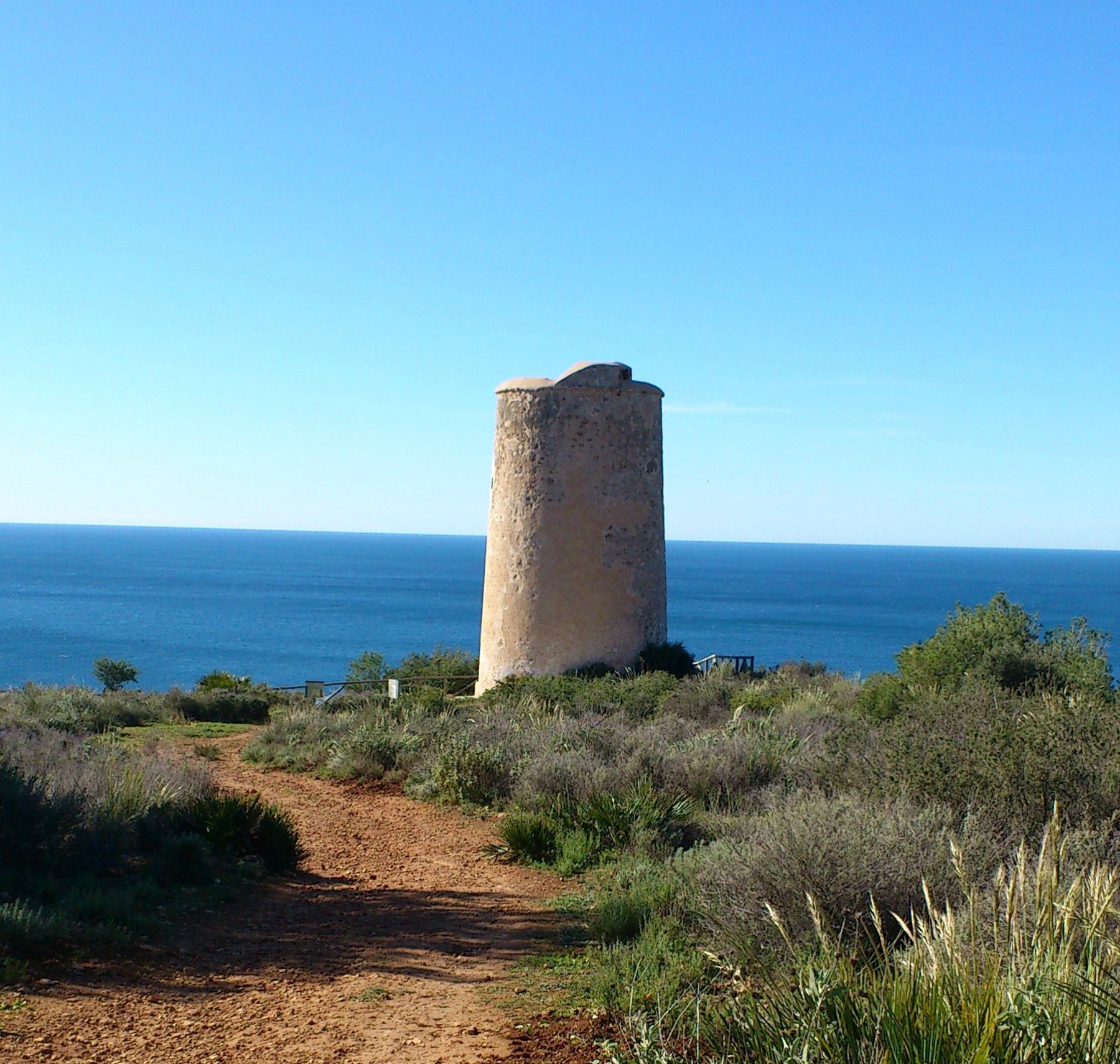
Along the cliff tops stands a chain of round stone towers. Known as torres almenaras or coastal watchtowers, they were built from around 1500 onwards when this coastline was plagued by raids from North African corsairs. Watchmen scanned the waters and relayed warnings from tower to tower using smoke by day and fire by night. In this way, an alert could travel along the entire coast in record time. They are all round and slightly tapered, built on a solid stone base with an entrance door positioned 5–7 metres up the wall.
- Torre de Cerro Gordo (also known as Torre de La Herradura): situated on the tip of Cerro Gordo, on the western side of La Herradura bay. Built in the late 16th century or early 17th century on the site of a former Moorish watchtower. 10.5 m tall. Used by customs coastguards during the 19th century. A protected cultural monument (BIC). You can walk up to it from Mirador de Cerro Gordo.
- Torre Caleta (also Torre de la Caleta, de Cantarriján or del Cañuelo): on the cliff of Cerro Caleta between Cantarriján and El Cañuelo, in the municipality of Nerja. Dating from the 16th century, over 9 m high and rather weathered. Best viewed from the beach and from the water.
- Torre del Pino: by Cala del Pino between El Cañuelo and Maro, likely built between 1485 and 1514, approx. 12 m tall. It stands on private land.
- Torre de Maro (also Torre de Calaturcos): on a rocky plateau east of Maro beach, dating from the 16th century, approx. 11 m high, with a well-preserved embrasure above the doorway. The tower marks the western end of the nature area.


Kayaking and snorkelling
The best way to see the cliffs is from the water. Out at sea, you can see the caves, the rock arches and the waterfall at Maro, which cannot be reached on foot. Kayaks can be rented on Maro beach, and guided tours are available from Maro, Nerja and La Herradura. According to booking sites, a guided tour lasting about two hours costs from around €30 (≈ 224 kr.) per person; check the price directly with the provider. The paddle from Maro beach out to the waterfall takes 10–15 minutes.
Snorkelling is at its best around the rocky outcrops – for example by Peñón del Fraile at El Cañuelo and in the coves of Cantarriján. Read more about diving, snorkelling and kayaking in the bay on our page The Sea at La Herradura.

The rules in the nature area are simple: motorised boats may not sail closer than 200 metres to the beaches and 50 metres to the rest of the coastline, and anchoring is only allowed in designated areas. Kayaks, paddleboards and swimmers are welcome all the way in. Please do not step on the seagrass, and do not remove stones, shells or marine life.
How to get there
By car
Head west along the old coastal road, the N-340, past La Herradura. Just after the Cerro Gordo tunnel lies the turn-off for Cantarriján, and a couple of kilometres further along is the roundabout at km 302 for El Cañuelo. If you carry on, you will reach the car park at Las Alberquillas and finally Maro. From Playa Tropical, it is approx. 13 km (20 mins) to the Cantarriján car park and approx. 23 km (26 mins) to Maro. You can also take the A-7 motorway to Nerja/Maro, but the N-340 is closer to the beaches and far more scenic.
Cantarriján in summer: the road down to the beach is just a single narrow lane, which is why there is a barrier by the N-340. In the 2026 season (15 June–10 September), the shuttle bus ran daily from 09:00 to 21:00, approx. every 10–15 minutes. A return ticket was €3 (≈ 22.38 kr.), a weekly pass €15.75 (≈ 117 kr.) and a 10-trip card €22.50 (≈ 168 kr.). Children under 5 travel free. There are around 180 parking spaces spread over two car parks by the N-340 (75 and 82 car bays, plus spaces for motorbikes, bicycles and disabled parking) and an information point at the barrier. In August, three buses operate daily. Small dogs under 10 kg are only allowed in a pet carrier. Outside the high season, according to local guides, you can drive down to the car park right by the beach – follow the signposting by the barrier.
The buttons below the map at the bottom of the page open the routes from Playa Tropical directly in Google Maps.
By bus
ALSA's coastal buses between Almuñécar and Nerja stop in La Herradura and at Maro, but not at Cantarriján, El Cañuelo or Las Alberquillas. To get to Maro beach, you can take the bus to Maro and then catch the shuttle bus or walk down. For the other beaches, you will need a car or a taxi. Check timetables on alsa.com and see our page on buses.
Sights along the way
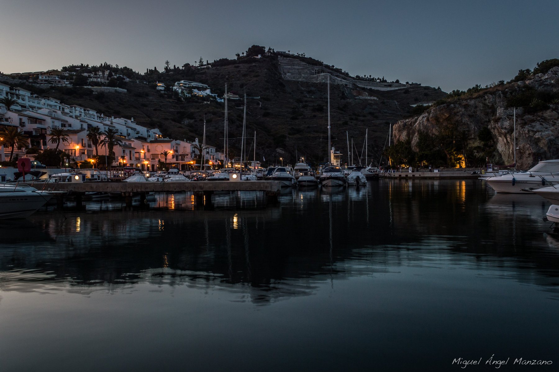
- Marina del Este (approx. 10 km): the marina at Punta de la Mona with 227 berths and a Blue Flag. Diving and snorkelling excursions set sail from here along Cerro Gordo and Cantarriján, and there are wonderful seafood restaurants along the quayside. It was here off Punta de la Mona that 25 of Juan de Mendoza's 28 Spanish warships were wrecked in a severe storm on 19 October 1562 – between 3,000 and 5,000 men lost their lives.
- La Herradura (approx. 9 km): the "horseshoe", the curved bay with its expansive beach and the seafront promenade Paseo Andrés Segovia. A lovely spot for a coffee and a refreshing swim.
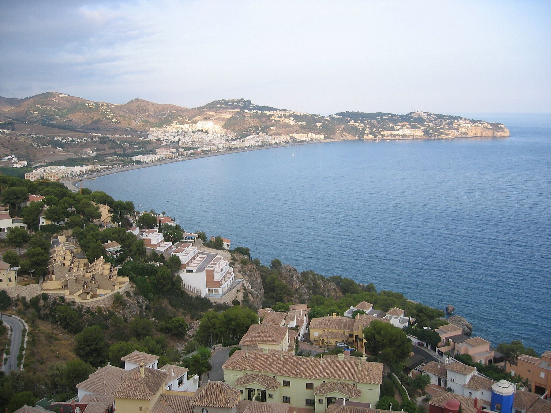
- Mirador de Cerro Gordo (approx. 13 km): viewpoint and restaurant right beside the N-340, with parking available. From here you enjoy sweeping views across both La Herradura bay and the cliffs towards Maro. A footpath leads up to the watchtower Torre de Cerro Gordo.
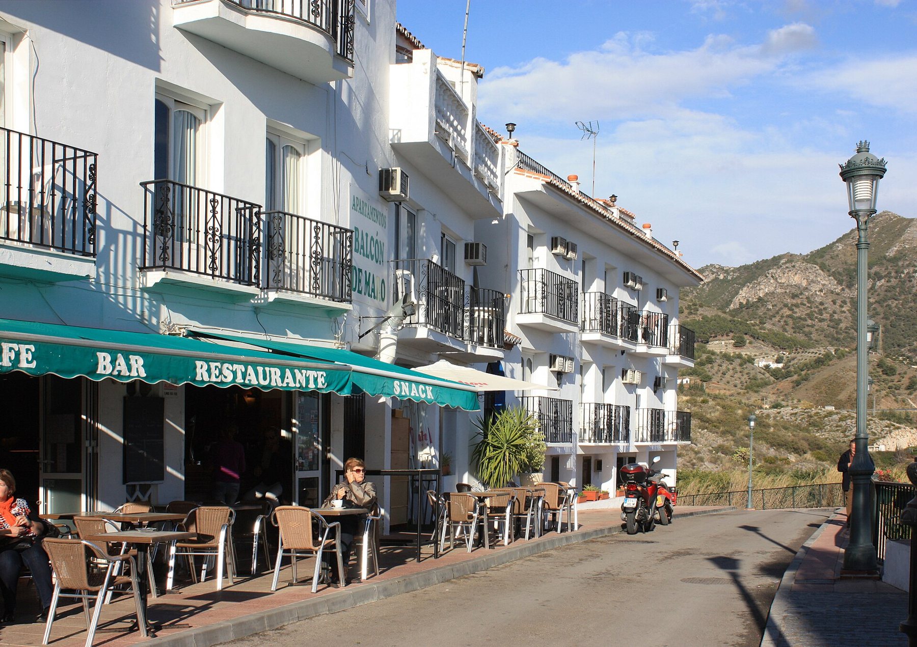
- Maro (approx. 23 km): the charming white village with the church of Nuestra Señora de las Maravillas and the aqueduct Acueducto del Águila just outside the town. Perfect to combine with the Nerja Caves.
Food
Down by the beaches, it is all about the beach restaurants, chiringuitos. The true classic is espetos: sardines skewered and grilled over an open fire, often inside an old boat filled with sand. Be sure to also try the catch of the day, octopus (pulpo), fried fish (pescaíto frito) or a midday paella. At Cantarriján you'll find La Barraca and one other restaurant, at El Cañuelo there is Las Piedras and El Paraíso del Cañuelo, and at Maro beach a beach bar. According to local guides, sun loungers cost approx. €6–10 (≈ 74.60 kr.) per day (2026).
If you prefer a proper seated meal at a table, head to La Herradura along the seafront promenade, by the harbour at Marina del Este or in Maro, where several restaurants boast terraces with sea views. Discover more tips in 3×10 things to taste, eat and visit.

Toilets
- Playa de Maro: toilets and showers on the beach.
- Cantarriján: showers, but we have not been able to confirm public toilets. Use the beach restaurants (for patrons).
- El Cañuelo: no public toilets – only at the two beach bars for patrons.
- Las Alberquillas: no toilet facilities at all.
- En route: cafés in La Herradura, restaurants in Marina del Este and the restaurant at Mirador de Cerro Gordo (for patrons).
Festivals and traditions
- La Herradura, approx. 19 March: the town celebrates its patron saint, San José.
- La Herradura, 1–3 May and 23–24 June: Cruces de Mayo (floral crosses) and the Night of San Juan on the beach.
- 16 July: Virgen del Carmen, the patron saint of fishermen. In La Herradura and Almuñécar, her statue is carried out in a sea procession escorted by flotillas of boats. See the festivals page.
- Maro, around 8 September: Feria de las Maravillas in honour of the village's patron saint, featuring Mass, a street procession and celebrations in Plaza de las Maravillas. Dates for 2026 varied across sources (5–8 or 7–9 September), but the main feast day is the 8th.
Suggested day trip
| Time | Facility |
|---|---|
| 09:00 | Depart from Playa Tropical along the N-340. Quick stop at Mirador de Cerro Gordo for the view |
| 9:30 | Park at the top of Cantarriján or El Cañuelo and take the shuttle bus down |
| 10:00–14:00 | Swimming and snorkelling. Lunch at the beach restaurant |
| 15:30 | Drive on to Maro. Hire a kayak and paddle out to the waterfall |
| 18:00 | Coffee or dinner in Maro or La Herradura – returning via the N-340 |
Maps and routes
Red star = Playa Tropical. Click on a point for the name and distance. Map data © OpenStreetMap.
Open the route in Google Maps
- Drive from Playa Tropical to CantarrijánApprox. 13 km, 20 mins along the N-340 past La Herradura. In summer, park by the barrier and take the shuttle bus down.
- Along the coastal road with stopsMarina del Este, La Herradura and the views from Cerro Gordo – ending at Cantarriján.
- Round trip: all the beaches and homeCantarriján, El Cañuelo, Las Alberquillas and Maro via the N-340 – returning via the A-7.
- Walk from Maro down to the beachApprox. 1.7 km down a steep road, 15–20 mins (walking back up takes longer). In summer, the shuttle bus also runs.
The routes start at Playa Tropical. On mobile devices, they open directly in the Google Maps app, ready for navigation.
Good advice
- Arrive early in summer. The car parks at Cantarriján, El Cañuelo and in Maro fill up before midday in July and August.
- Bring cash. The shuttle buses and several beach bars only accept cash.
- Wear water shoes. The beaches are mostly pebbles and rocks – and water shoes are ideal for snorkelling.
- Bring water and sun shade. There is no shade on the paths, and the walk up from the beach is steep.
- Do not drive down if the barrier is down. In summer, the roads down to Cantarriján and El Cañuelo are closed to private cars.
- Snorkel near the rocks, not over the seagrass. And keep an eye on the waves – strong currents can develop in windy weather.
- Respect the naturists. Do not take photos of others on Cantarriján and Las Alberquillas.
Do not walk along the base of the cliffs between the beaches. Rocks do fall from above, and according to local sources, a large rockfall occurred between Maro beach and the waterfall in July 2025. The waterfall is best admired from the water, not on foot.
Sources
- Junta de Andalucía, Ventana del Visitante 2026: Shuttle bus to El Cañuelo and Cantarriján
- Bus Cantarriján: timetables and fares
- El Faro de Motril 16-06-2026: The Cantarriján shuttle bus 2026
- Nerja Town Council 12-06-2026: Shuttle bus to Maro beach
- Junta de Andalucía: Natura 2000 site ES6170002 Acantilados de Maro-Cerro Gordo
- Wikipedia (es): Acantilados de Maro-Cerro Gordo
- Wikipedia (es): Playa de Cantarriján and Cala del Cañuelo
- Wikipedia (es): Torre de Cerro Gordo, Torre Caleta, Torre del Pino, Torre de Maro
- Wikipedia (es): La Herradura and Marina del Este
- Marinas Mediterráneo 02-09-2026: Marina del Este
- Ecoticias 2017: Cantarriján awarded environmental quality mark
- Local guide (unofficial): esnerja.com: El Cañuelo, Maro, Cantarriján and the waterfall
- Diario Sexitano 2023: The Virgen del Carmen maritime procession in Almuñécar and La Herradura
- Festivales de España: Feria de las Maravillas in Maro
- Coordinates: OpenStreetMap contributors (ODbL)
Krone amounts are converted at 1 € ≈ 7.46 kr. and rounded.