The river from the mountains to Velilla
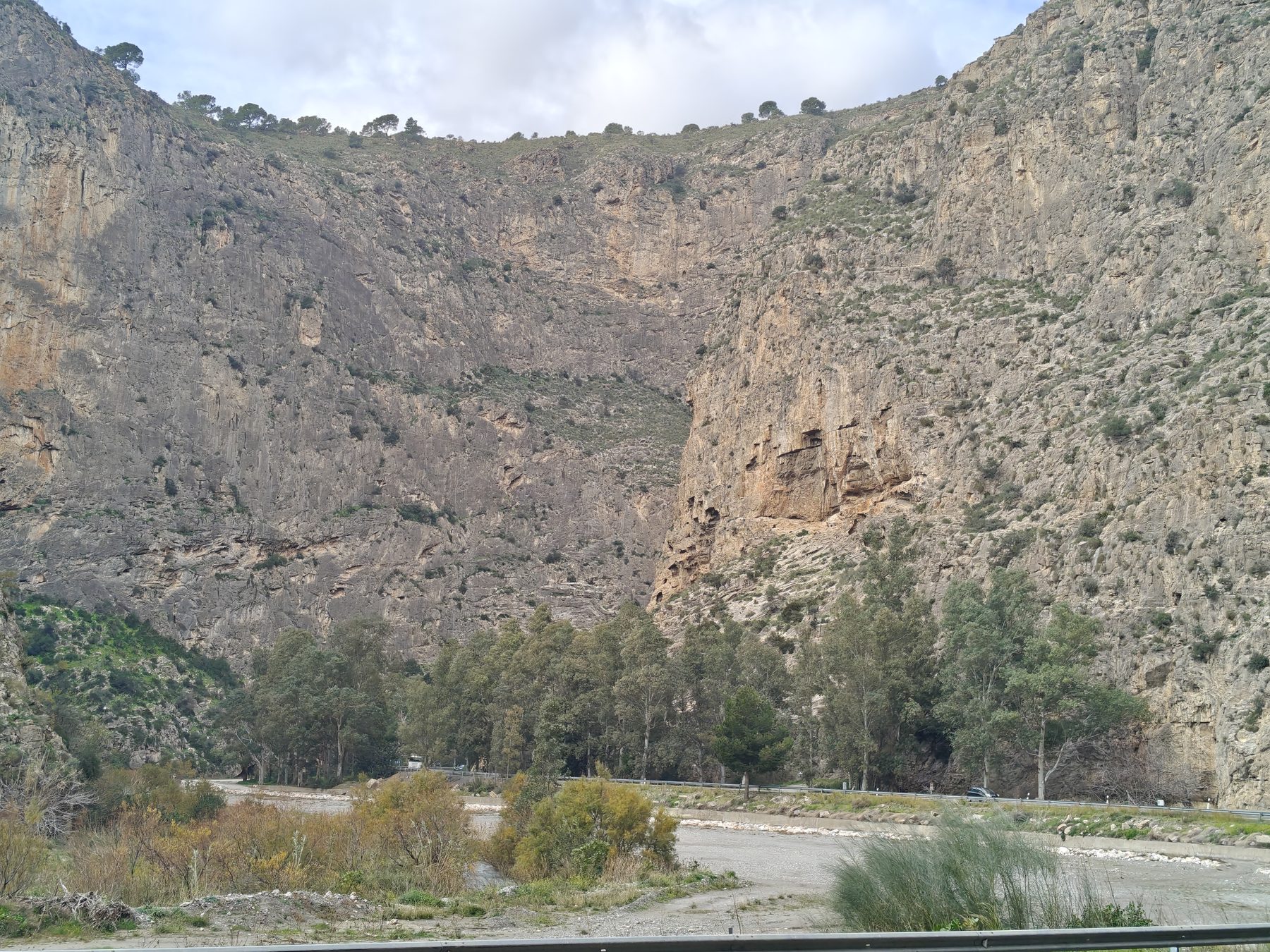
Río Verde is about 22 kilometres long. It rises in the Sierras de Tejeda, Almijara y Alhama natural park, flows along the border between Otívar and Lentegí, through Jete and past Almuñécar – and empties into the sea at Punta de Velilla – in our own neighbourhood.
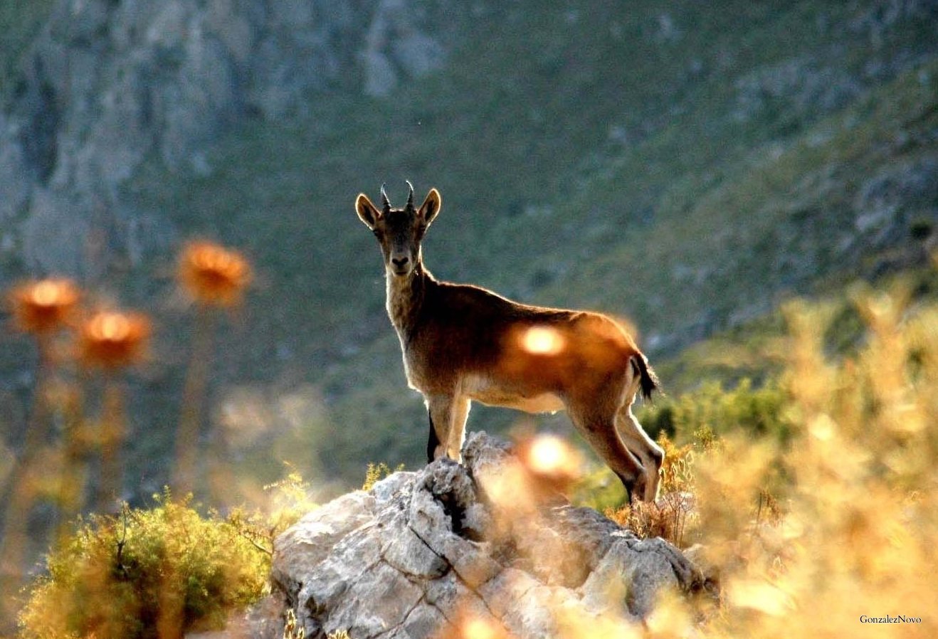
The name means "the green river" and comes from the colour of the water. Where the river cuts through the marble of the mountains, the water turns almost whitish. Ibex live in the gorges, and golden eagles and hawk eagles circle above them.
What a trip involves
The trips start at Otívar, about a 20-minute drive from Almuñécar. In a wetsuit and helmet, you follow the river downwards through the gorge: you jump into natural pools, slide down smooth rocks and lower yourself down waterfalls using ropes. A classic trip takes about four hours.
- Family trip – from 8 years old, without abseiling.
- Classic tour – from 14 years old, featuring rappelling down waterfalls.
- Best in July and August. The water is freezing cold all year round, but in summer it is a welcome relief.
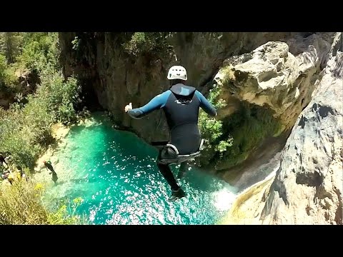

Access to the river requires a special permit, and the gorge is not without danger in the event of sudden rain. Therefore, always set out with an approved provider that has guides and equipment.
On foot across the gorge
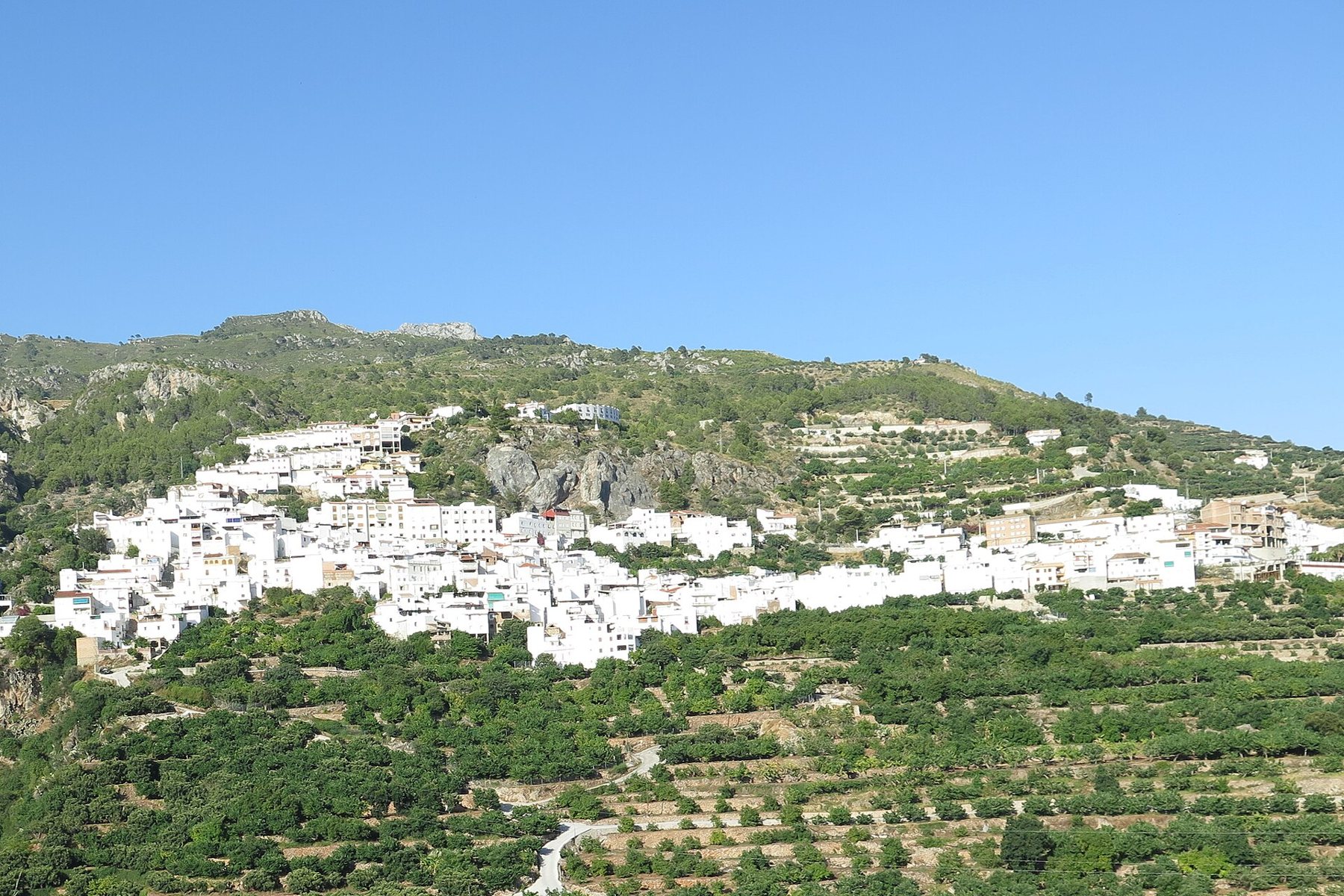
If you do not fancy getting wet, you can walk along the river. From the Carretera de la Cabra at kilometre 28.7, a circular route of about 7.4 kilometres starts through the upper part of the valley – up stone stairs, through pine forest and past the weathered limestone landscape. Expect a good three hours and a moderate level of difficulty.
And up into the air
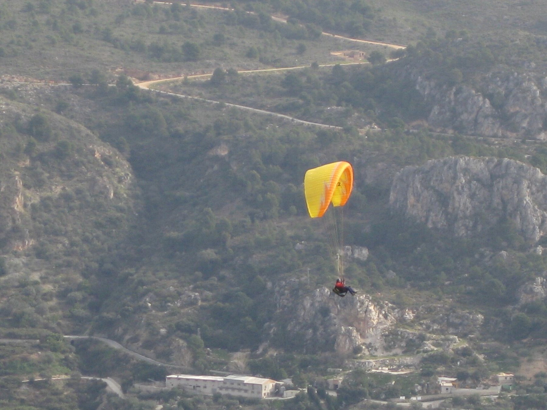
The mountains near Otívar are also used for paragliding. From the launch sites, you can soar with an experienced pilot in tandem over the valley – the weather determines whether it is possible.
Map
Red star = Playa Tropical. Click on a point for the name and distance. Map data © OpenStreetMap.
Open the route in Google Maps
The routes start at Playa Tropical. On mobile devices, they open directly in the Google Maps app, ready for navigation.
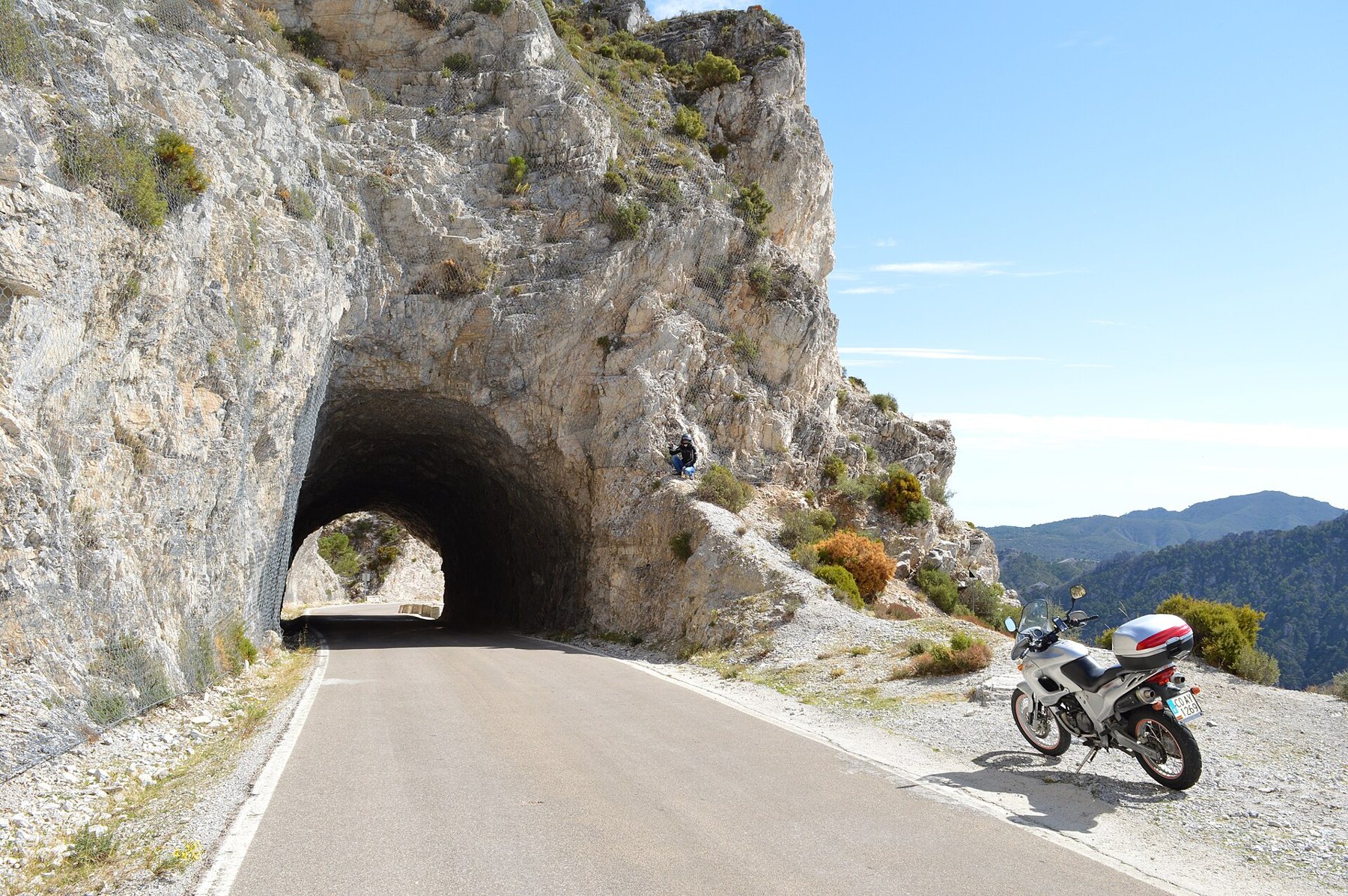
See also Hiking in the fruit valleys and Motorcycling along the Carretera de la Cabra – the road up to Otívar is an experience in itself.
Sources
- Wikipedia (es): Río Verde (Granada)
- Barceló: Barranquismo en Río Verde
- Manawa: Canyoning in Río Verde from Otívar
- Andalucia.com: Sendero Río Verde
- Universidad de Málaga: Sendero Río Verde
- Photos from Wikimedia Commons – photographer and license listed under each image