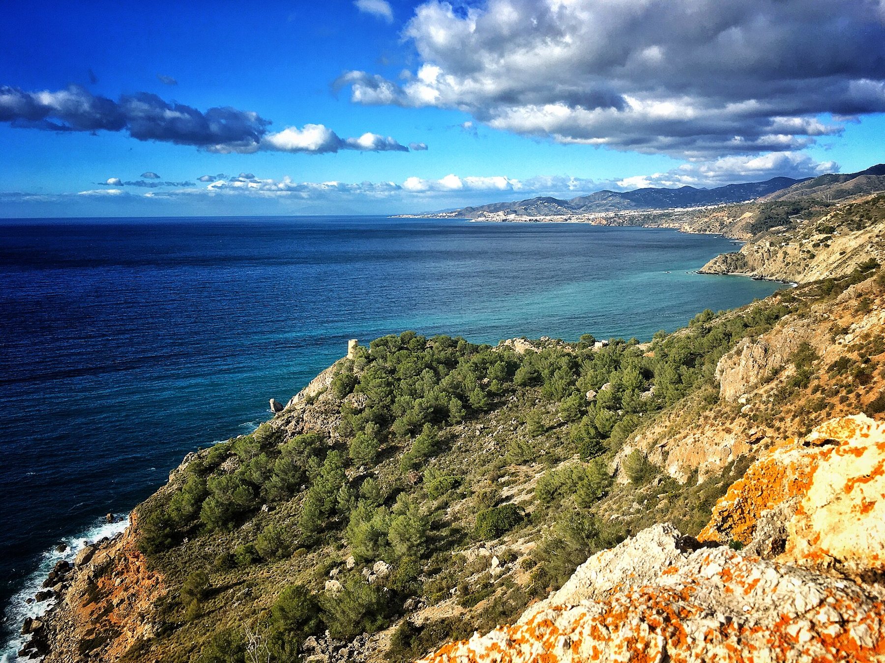
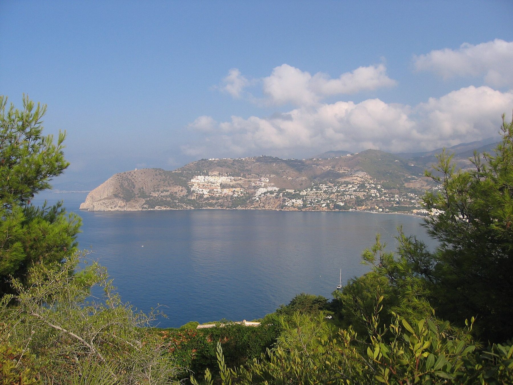
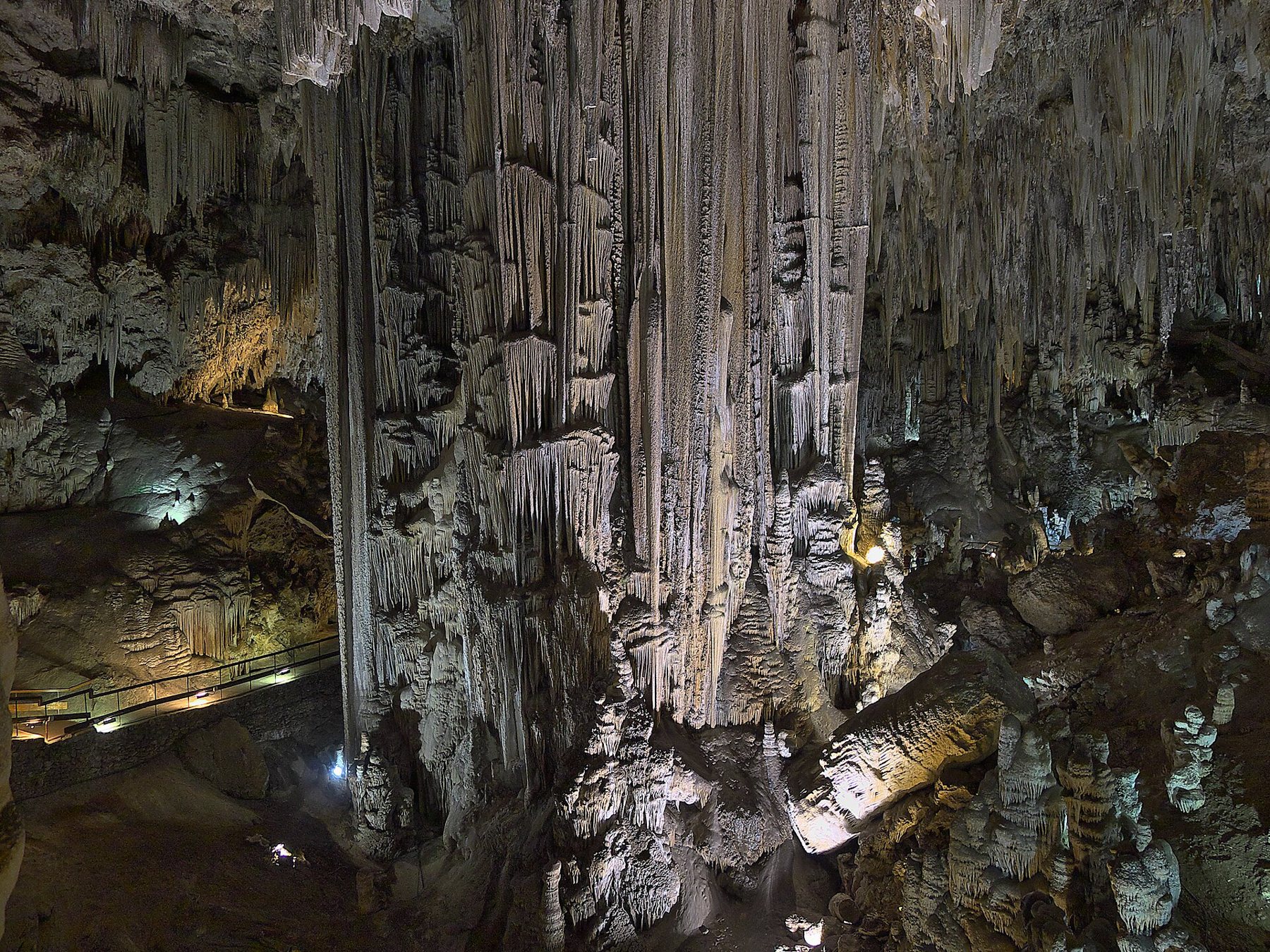
Salobreña lies just 12 km east of Playa Tropical, yet looks like another world: a cluster of white houses climbing up a rock crowned by a Moorish castle. Beneath the town stretches the green fertile plain where sugar cane grew for a thousand years, and by the beach stands El Peñón, a rock that was once an island. Here is your guide to the castle, the old town, the beach, and how to get there.
The town on the rock
Salobreña has around 12,800 residents (2025) and belongs to Costa Tropical just like Almuñécar. The old town sits perched on a rock that rises abruptly from the plain. According to the town council, the castle stands 73 metres above sea level and roughly 500 metres from the shoreline today. In the Middle Ages, the sea reached right up to the foot of the rock, and even earlier, both the town's rock and El Peñón were islands in a bay. The Guadalfeo river has since silted up the bay with sediment, creating the fertile plain – la vega – between Salobreña and Motril.
The name comes from Arabic Shalubānya. Phoenicians and Romans left their mark here, but what you see today stems mostly from Moorish times and the 16th century. The town was conquered by the Catholic Monarchs in 1489. The castle, the old town, the city walls, and Torre del Cambrón are all listed heritage sites (Bien de Interés Cultural).

The castle – Castillo de Salobreña
The castle has been documented since the 10th century, but most of what you see was built by the Nasrid dynasty, Granada's last Moorish rulers (13th–15th centuries), and reinforced by the Christians after 1489. It features three rings of walls:
- The inner fortress – the ancient Nasrid alcázar with four towers: Torre del Homenaje, Torre Vieja, Torre Nueva, and Torre del Polvorín (the powder tower).
- The artillery ring – walls and bastions built by the Christians in the late 15th century to counter the new threat of cannon fire. The engineer was Ramiro López.
- La Coracha – a fortified wall that protected the path down to the water, featuring Torre del Agua and Torre de la Coracha.
Inside the castle lay a royal summer palace, while it also served as a prison for monarchs. Granada's sultans sent rivals and family members into detention here, including Yusuf III, Muhammad VIII, Muhammad IX, and Muley Hacén. Yusuf III was held here for many years before becoming king himself in 1408 (the town council states 11 years, Spanish Wikipedia 15). According to legend, a game of chess saved his life: the executioner allowed him to finish the match, and in the meantime, the message arrived that he had been crowned king.
By the 18th century, the river had pushed the sea so far back that the castle could no longer defend the coast, and it fell into disrepair. The architect Francisco Prieto-Moreno restored it after 1949. Recent excavations have uncovered remains of the Nasrid palace, a Moorish cistern, and 16th-century gun embrasures.


The view is what stays with most visitors. From the towers, you gaze out over the white town below, the fertile plain, the sea, El Peñón, and on clear winter days, the snow on Sierra Nevada to the north.
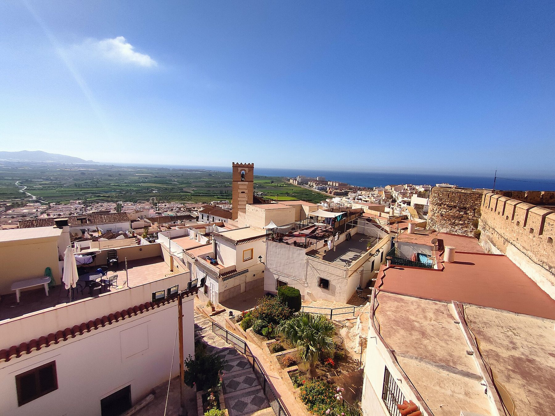
Opening hours and tickets (as of October 2026)
| Period | Morning | Afternoon |
|---|---|---|
| Last Sunday in March – 14 June | 10–13 | 17.30–19.30 |
| 15 June – 31 August | 10–13 | 17.30–20 |
| 1 September – last Saturday in October | – | 17:00–18:30 (town council tourist site only; morning is not listed) |
| Last Sunday in October – last Saturday in March | 10–13 | 16–17.30 |
- Price: €4 (≈ 29.84 kr.). Concession €2 (≈ 14.92 kr.) for EU citizens over 65, groups of at least 12, disabled visitors, and certain other categories. Card payment only.
- Free: every Monday afternoon, and on public open days 28 February, 18 April, 18 May, 27 September, and 16 November.
- Closed: 24, 25, and 31 December and 1 January according to the town council (the castle's own homepage mentions only 1 January and 25 December).
- Dogs: not permitted, except guide dogs.
- Wheelchairs: the town council notes there is an accessible route for wheelchairs – ask at the tourist office about it.
- Audio guide: free on the town council tourist website (turismosalobrena.com, "Audioguía").
The castle's new website displays two different sets of opening hours – one table on the front page and another under "Planifica tu visita". We have used the latter, which also matches the town council tourist site. Do check castillosalobrena.es before setting off.
The old town
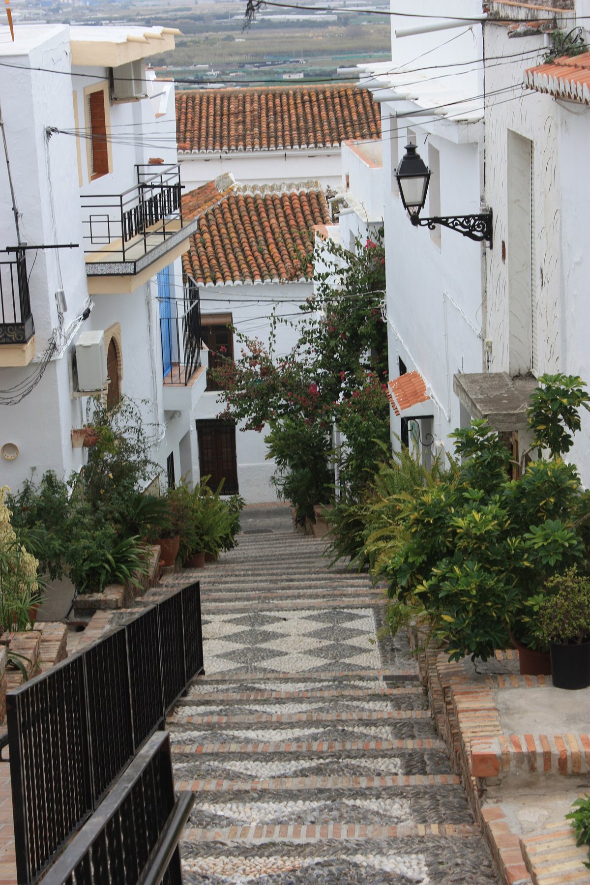
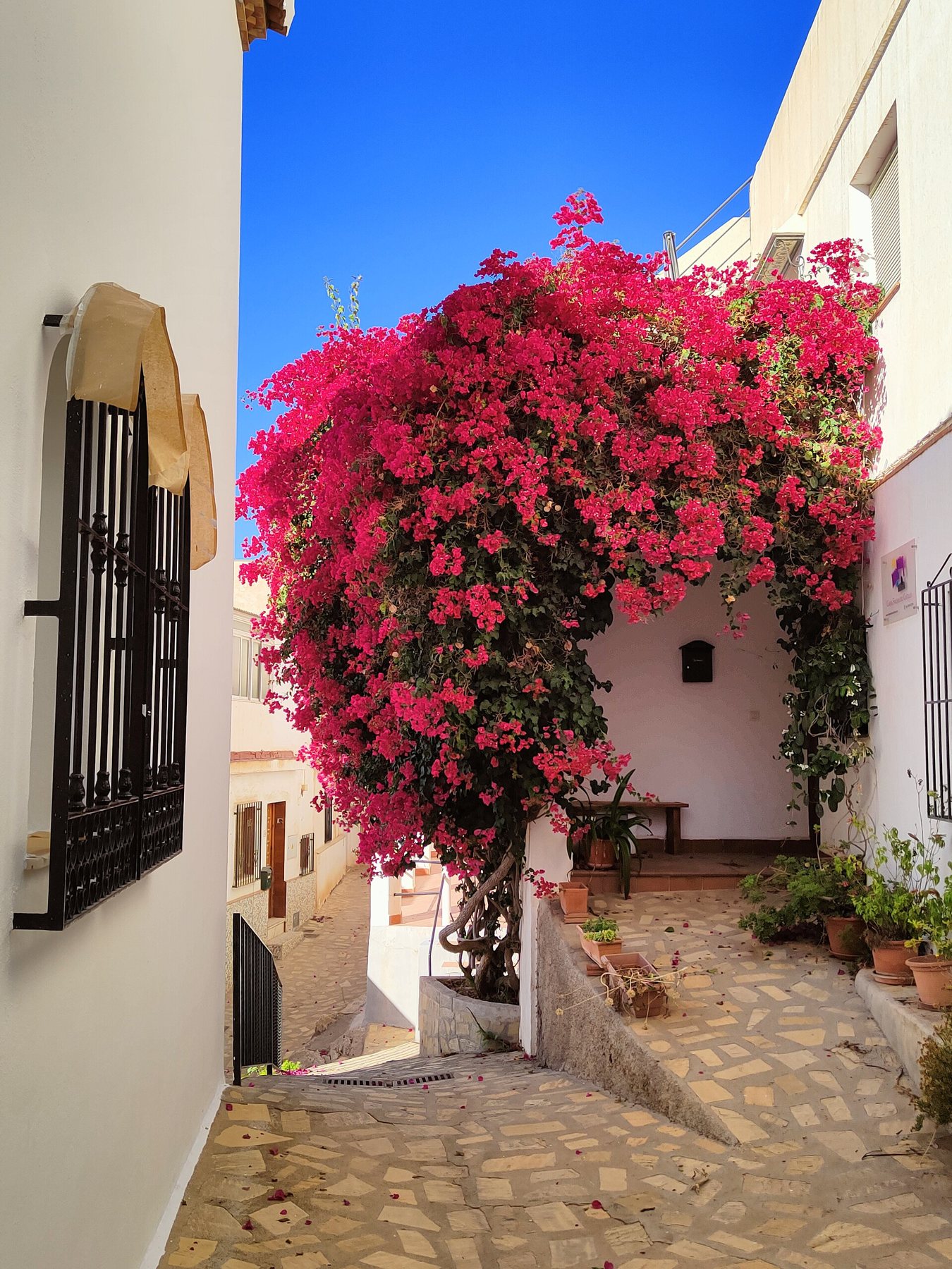
The old town retains its Moorish layout with narrow, whitewashed, and steep lanes that have kept the ancient street pattern intact. Walk up from the town hall and take your time – there are steps everywhere. The town council suggests the following route:
- Iglesia de Nuestra Señora del Rosario – this 16th-century church was built on the site of the former mosque. It is built in Mudéjar style with a timber ceiling and a crenellated tower that can be seen from almost anywhere in town. Look out for the side portal adorned with colourful tiles.
- La Bóveda – a vaulted passageway underneath a house, built against the medieval town wall. It served as the main entrance to the Moorish town.
- Paseo de las Flores – the gardens and viewpoint situated just beneath the castle. Town concerts and events are held here today.
- Mirador del Postigo and Mirador Enrique Morente – two scenic viewpoints. The latter features a sculpture commemorating the flamenco singer from Granada and offers sweeping views down to El Peñón.
- The quarters of El Brocal, El Albaicín, and La Fuente – whitewashed houses, narrow alleys, and balconies overflowing with flowers.
- The old cemetery laid out in terraces overlooking the sea, and Casa Roja, a grand mansion from a decommissioned sugar mill.


El Peñón – the rock that once was an island
Down by the shore stands El Peñón, a prominent rock that divides the coast into two: Playa de La Guardia to the west, and Playa del Peñón and La Charca to the east. It was an island well into the 17th century, appearing connected to the beach for the first time on a map from 1722. Archaeologists have discovered prehistoric traces, a Punic shrine from the 2nd century BC that was later repurposed for salting fish, and a burial ground from early Christian times.
Today, the rock is a pleasant spot for a stroll and admiring the sea views. Jumping into the sea from the top is strictly forbidden, notes the town council. In March 2026, the mayor announced that El Peñón is to be transformed into a coastal park with secure footpaths, railings, subtle lighting, and information boards, funded by around €400,000 (≈ 2,984,000 kr.) from EU recovery funds. We have not been able to confirm whether the park is complete.

The beaches
Salobreña has five beaches. From west to east:
| Beach | What it's like |
|---|---|
| El Cambrón and El Caletón | Small, charming coves with calm waters – excellent for snorkelling. Reached via walking trails. |
| La Guardia | Family-friendly beach by the old fishing quarter, with coarse sand and pebbles. Beach bars, showers, and toilets. Blue Flag. |
| La Charca – Salomar | The longest and most urban beach, boasting a promenade, restaurants, and every amenity. |
| Punta del Río | Natural beach where the Guadalfeo flows into the sea. Quiet, and a wonderful spot for birdwatching. |
Every summer, the town council publishes water quality test results and beach regulations. Read more about the coast's beaches on our beaches page.

Sugar cane – a thousand years of history
The green plain below Salobreña was sugar country for nearly a thousand years. As early as the 10th century, the Arab historian al-Razi recorded sugar cane in Salobreña, and in the 13th century, the geographer Yaqut described the coastal castle surrounded by bananas, sugar cane, and oak trees. Sugar cane remained the town's prime crop well into the 16th century. The furnaces in the sugar mills consumed so much firewood that the mountains were stripped bare. The topsoil was washed down into the river, helping silt up the bay.
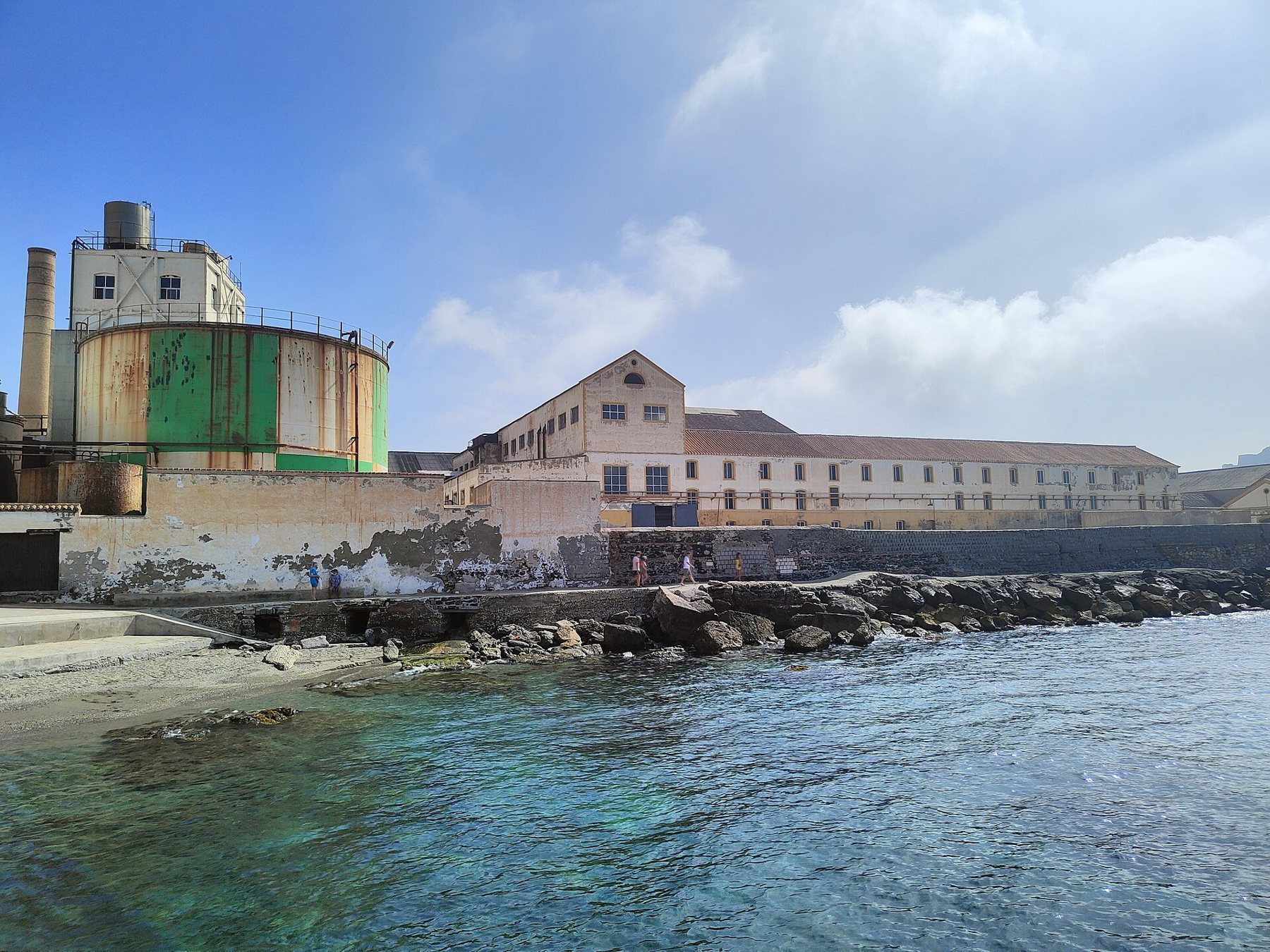
Later on, cotton took over, but in the 19th century, sugar made a comeback using steam engines and techniques brought over from Cuba. The sugar mill Azucarera Nuestra Señora del Rosario, later known as Azucarera Guadalfeo, sits beside the sea in La Caleta, about 1.5 km from town. According to Spanish Wikipedia, it was established in 1861 by the industrialist Joaquín Agrela (the Junta de Andalucía writes "the first half of the 19th century"). It closed permanently on 5 June 2006. According to the Junta de Andalucía, it was the last operating sugar cane factory in Europe, and the best preserved. It was granted heritage protection as an ethnological monument in 2007. Its tall chimney is easily spotted from the coastal road. We have found no open public tours inside the factory – enjoy admiring it from the outside.

Following sugar came subtropical fruits. In the 1960s and 70s, farmers started planting avocado, mango, guava, and above all chirimoya. If you would like to discover more about the rum that Costa Tropical still produces from sugar cane, read about Ron Montero, and explore the orchards in the fruit valleys.
Food
The town council highlights these dishes in particular:
- Espetos de sardinas – sardines threaded onto skewers and grilled over an open driftwood fire on the beach.
- Pulpo a la salobreñera – the town's signature octopus dish, served in a rich sauce of tomato, toasted bread, garlic, wine, paprika, and bay leaves.
- Espicha de boquerones – cured anchovies served with fried eggs and garlic.
- Migas with fried fish, zarzuela (rich seafood stew), and stews made with cazón (dogfish).
- For dessert: leche rizada (a chilled milk dessert infused with cinnamon and lemon), homemade chirimoya ice cream, and treats made with tropical fruits.
Where to eat? The town council's culinary guide divides the town into three zones: tapas bars in the modern centre (Flores de Lemis and García Lorca streets), charming taverns with views in the old town, and seafood restaurants and chiringuitos along the promenade and in La Caleta-La Guardia. Two historic spots highlighted by the council itself: El Peñón at the foot of the rock began life as a humble fisherman's hut and is famous for its espetos, while El Pesetas by La Bóveda was once a coal merchant's shop and wine tavern – according to the council, the first in town to admit women – and boasts panoramic views from its terrace. We have not verified current prices.
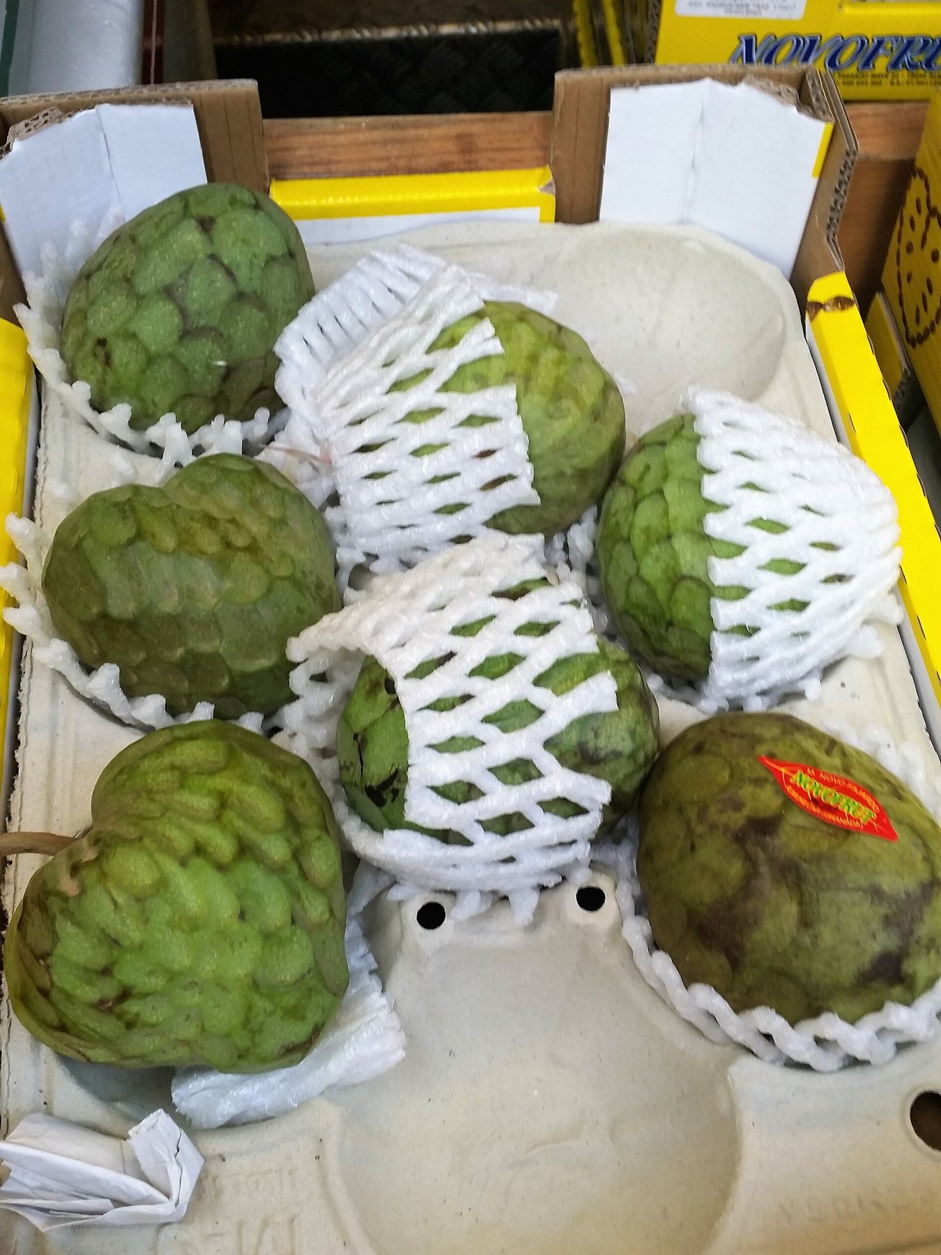
Chirimoya is Costa Tropical's signature fruit and has enjoyed Protected Designation of Origin status since 2002. The harvest runs through autumn and winter, so pick some up at the local market or roadside stalls from October to February. See also our guide to food traditions.
Toilets
- The beach: The town council notes that Playa de La Guardia has public toilets. OpenStreetMap also indicates public toilets near El Peñón and at two points along the promenade at La Charca.
- Below the castle: OpenStreetMap marks a public toilet by Paseo de las Flores, right under the castle. We have not been able to establish whether there are toilets inside the castle itself.
- Cafés: Up in the old town, local bars and cafés are your most reliable choice – just buy a coffee or a bottle of water.
We do not know whether the toilets charge a fee, or whether those down on the beach are only open in the summer months.
Festivals and traditions
- Semana Santa (Holy Week): processions from Tuesday through to Good Friday. On Good Friday, hundreds of women dressed in black follow the Virgin Mary in absolute silence during the solemn La Soledad procession.
- San Juan (around 24 June): town festival and fair held in honour of St John the Baptist. 24 June is a local public holiday.
- Virgen del Carmen (16 July): the fishermen's festival celebrated in La Caleta-La Guardia.
- Virgen del Rosario (the town's patron saint, 7 October – local public holiday): a week of celebrations in early October. The highlight is the Romería del Sur, held on a Sunday during festival week: in 2025, decorated floats, hundreds of riders on horseback, and horse-drawn carriages departed at 11:00 from Plaza Juan Carlos I down to the seafront promenade for an open-air mass, live music, and festivities all day long. The official date for 2026 has not yet been confirmed.
- La Candelaria (2 February) in the neighbouring village of Lobres is the oldest known fiesta in the municipality.
Find more celebrations on our festivals page.
How to get there
By car: Drive east along Paseo de Velilla and the coastal N-340, past Cabria and La Caleta. It is roughly 12 km and takes 15–20 minutes. You can also take the A-7 motorway. The buttons below the map will open the route directly from Playa Tropical in Google Maps.
Parking: Castle authorities recommend using the public car park by the town hall (Avenida de Miguel Hernández); from there, it is a 10-minute walk up to the castle. The municipality also mentions the car park by the Mercado Municipal (open 24/7). Along the beaches, blue zones (pay-and-display) operate in peak season, but parking is generally free at other times. The lanes of the old town are narrow and very steep – do not attempt to drive up. See also parking.
By bus: ALSA operates buses between Almuñécar and Salobreña multiple times a day, taking around 20 minutes according to booking platforms. We could not view the official schedule – please check alsa.com or the ALSA app, and have a look at our bus guide. From the bus station in Salobreña, you can stroll up through the old town to the castle in 15–20 minutes. The local town buses, routes 1 and 2, also stop near the church and castle.
Sights along the way
- Playa de Cabria (3 km) – a small pebble-and-shingle cove tucked into a series of inlets east of Velilla, only 154 m long with calm waters.
- Torre del Diablo (4 km) – a round watchtower dating from around 1766 perched above Cabria beach, standing 10.5 m high. The entrance sits 7 m above the ground. From 1839 onwards, it housed coastguards (carabineros).
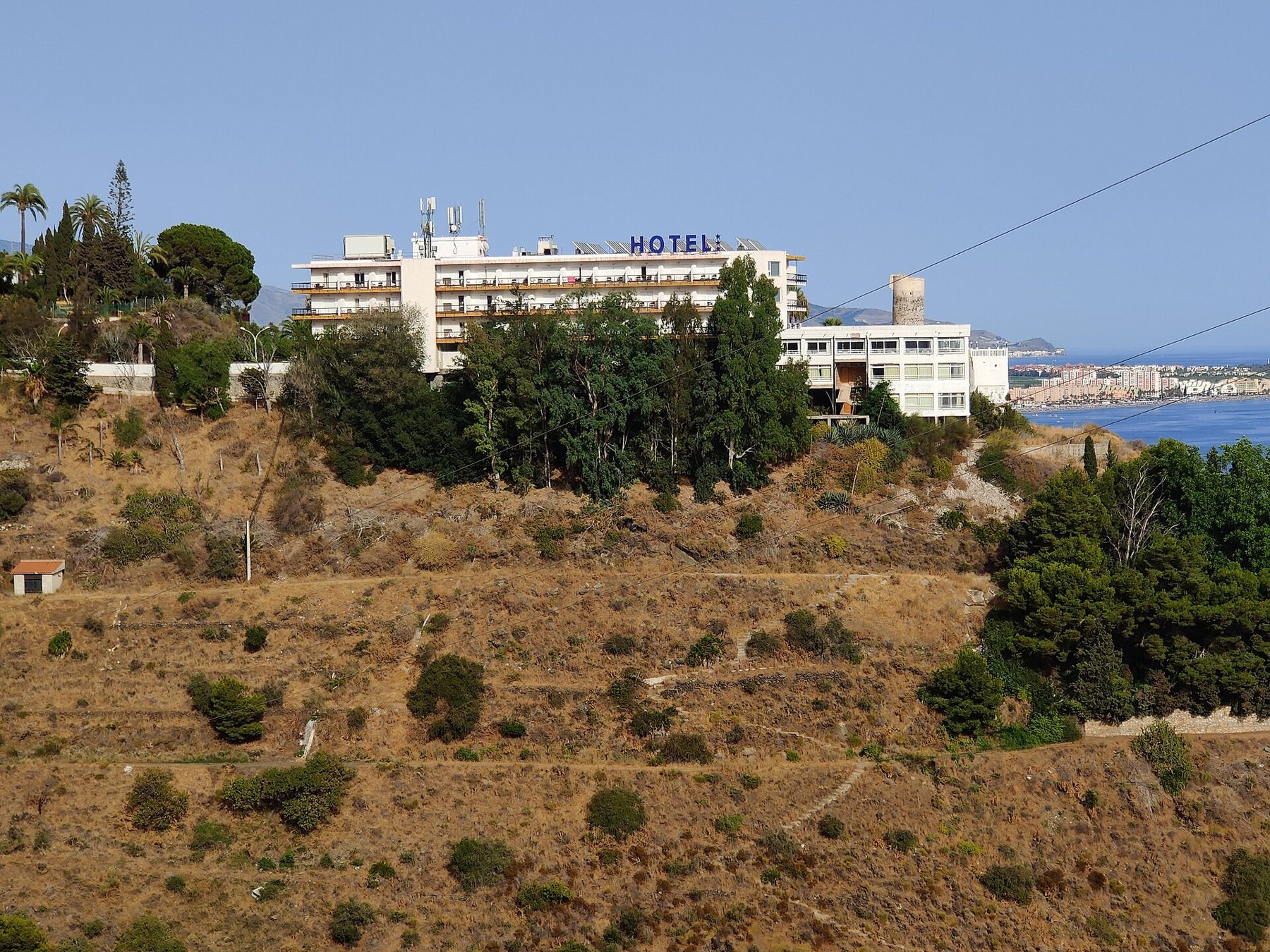
- Torre del Cambrón (9 km) – a Moorish watchtower situated on the Punta del Cambrón headland. It stands within the grounds of Hotel Salobreña and can only be viewed from the outside. Down below lies the secluded cove of Cala del Cambrón.
- La Caleta and the sugar factory (11 km) – the historic sugar mill with its towering seaside chimney, alongside the traditional fishing quarter of La Guardia.
- Motril (approx. 6 km beyond Salobreña) – the largest town on this stretch of coast, featuring a busy harbour. If you'd like to delve deeper into sugar heritage, visit the Museo Preindustrial de la Caña de Azúcar; check opening hours on motrilturismo.com.

Suggested itinerary
- 10:00 – Leave home and park by the town hall.
- 10:30 – Walk up through the old town to the church and castle (allow approx. 1 hour in the fortress).
- 12:00 – Discover La Bóveda, Paseo de las Flores, and Mirador Enrique Morente.
- 13:30 – Drive down to El Peñón and enjoy lunch by the beach.
- Afternoon – Stroll around El Peñón, enjoy a swim, or head back along the scenic coast with stops at the sugar factory and Torre del Cambrón.
Maps and routes
Red star = Playa Tropical. Click on a point for the name and distance. Map data © OpenStreetMap.
Open the route in Google Maps
- Drive from Playa Tropical to SalobreñaApprox. 12 km, 15–20 mins via the coastal N-340. Free parking near the town hall, a 10-min walk to the castle.
- The coastal road with stopsPlaya de Cabria, Torre del Diablo, Torre del Cambrón, and the sugar factory in La Caleta – ending at the car park in Salobreña. Approx. 20 km.
- Walking tour through the old townFrom the car park up to the church and castle, continuing on to the viewpoints and down to El Peñón. Approx. 2 km, steep with steps.
- From the town to the beach and back homeFrom the car park down to El Peñón (approx. 2 km), then back home to Playa Tropical.
The routes start at Playa Tropical. On mobile devices, they open directly in the Google Maps app, ready for navigation.
Good advice
- Bring a payment card. The castle accepts card payments only.
- Take your passport or ID. If you are an EU citizen aged 65 or over, admission to the castle is €2 (≈ 14.92 kr.) instead of €4 (≈ 29.84 kr.).
- Visit on a Monday – entry to the castle is free in the afternoon.
- Sensible shoes are a must. The old town is steep, with cobblestones and plenty of steps. In summer, it is best to tackle the climb in the morning.
- Park lower down in town. Do not attempt to drive into the narrow lanes of the old quarter.
- The tourist office is located on Plaza de Goya (tel. +34 958 61 03 14, turismo@ayto-salobrena.org). OpenStreetMap lists opening hours as Monday–Friday 09:30–13:30.
- Do not jump from El Peñón. It is strictly forbidden and very dangerous.
Sources
- Castillo–Alcazaba de Salobreña: Planifica tu visita (opening hours, ticket prices, open days, parking)
- Turismo Salobreña: Castillo de Salobreña (history, excavations, opening hours, closed days)
- Turismo Salobreña: Monumentos y centro histórico (the church, La Bóveda, viewpoints, El Peñón)
- Turismo Salobreña: Naturaleza y Costa Tropical (the beaches)
- Turismo Salobreña: Gastronomía (dishes, culinary route, historic taverns)
- Turismo Salobreña: Planifica tu viaje (local buses, parking)
- Turismo Salobreña: Información y servicios (public holidays, wheelchair access)
- Turismo Salobreña: Ruta de castillos, torres y atalayas
- BOJA no. 120, 19-06-2007: Azucarera Guadalfeo (closed 5 June 2006, only intact sugar cane factory in Europe)
- Wikipedia (es): Salobreña and Castillo de Salobreña
- Wikipedia (en): Salobreña (El Peñón as an island, al-Razi and sugar cane)
- Wikipedia (es): Torre del Diablo and Playa de Cabria
- Euro Weekly News 22-03-2026: Coastal park at El Peñón
- The Seaside Gazette, October 2025: Romería del Sur
- Coordinates: OpenStreetMap contributors (ODbL)
Krone amounts are converted at 1 € ≈ 7.46 kr. and rounded.