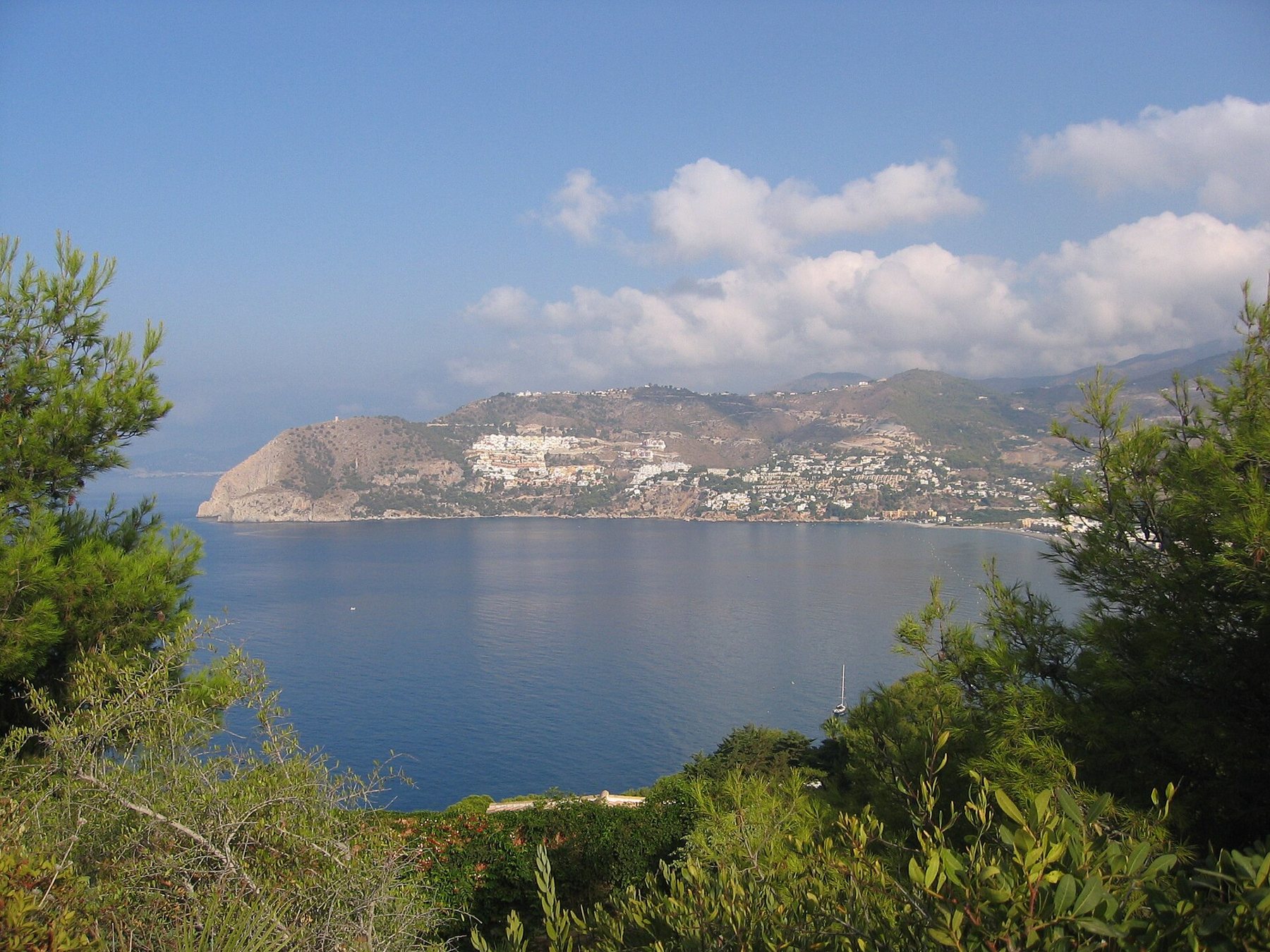
A bay with two headlands
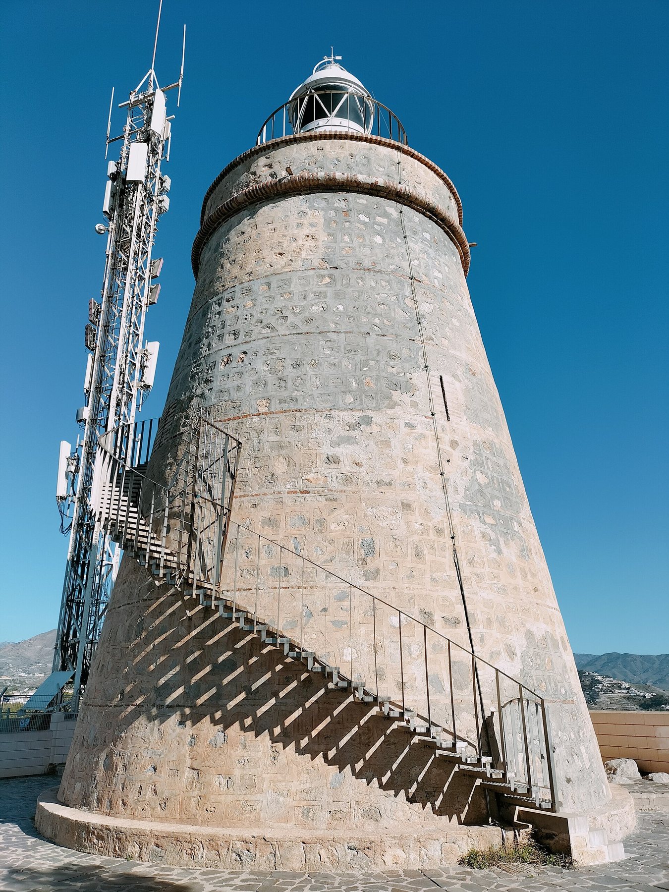
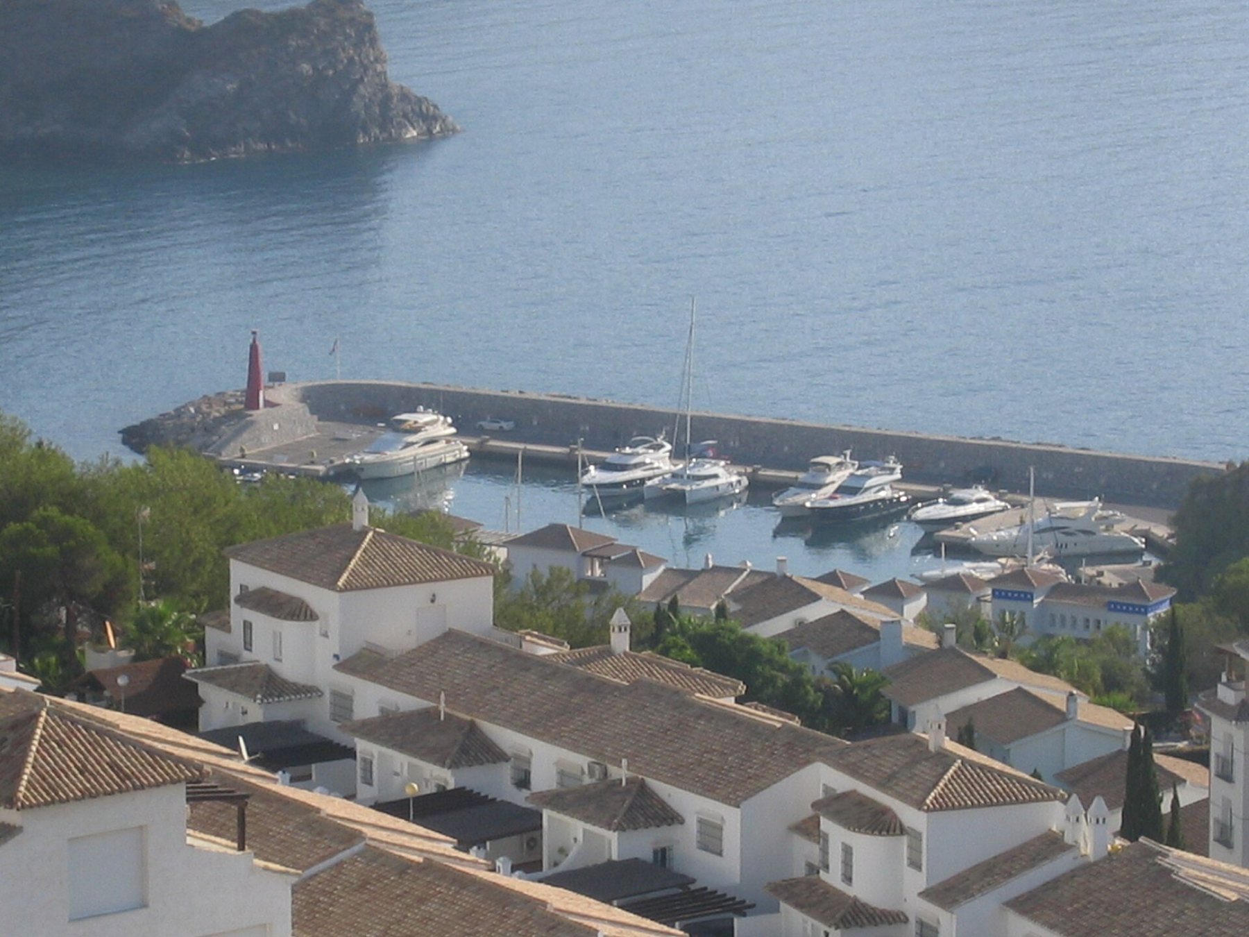
To the east, Punta de la Mona rises with its lighthouse. It stands on the site where the Moors had a watchtower, which was restored in the 18th century and today guides ships with its light. Just behind the headland lies the marina Marina del Este, where many of the diving schools and boat rentals are based.
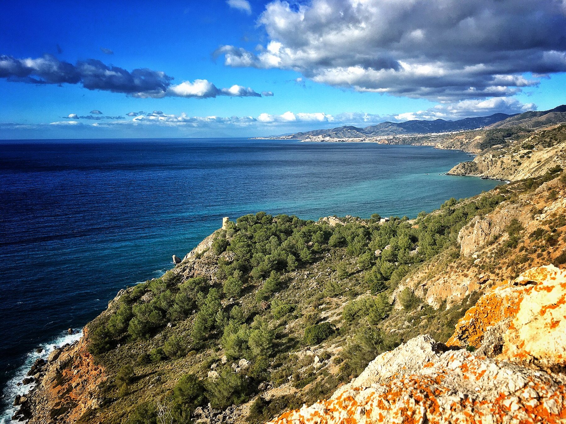
To the west lies Cerro Gordo, and behind it begins one of the coast's few stretches of unspoiled nature: the coast between Cerro Gordo and Maro was protected as a nature reserve in the 1980s – both the cliffs on land and the seabed underwater, where corals still grow and species threatened elsewhere live.
Sea kayaking along the cliffs
The classic trip goes from the beach in La Herradura and west along the cliffs towards Maro-Cerro Gordo. The trips typically last around two hours with a guide, and along the way you stop to snorkel in small coves and caves, often with a break on the small beach Calaiza. Paddleboard tours are also available along the same route – but they require some experience.

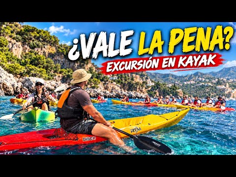
If you would rather paddle yourself without a guide, you can rent a kayak and paddleboard at Playa de la Caletilla in Almuñécar and follow the beach towards Peñón del Santo.
Underwater
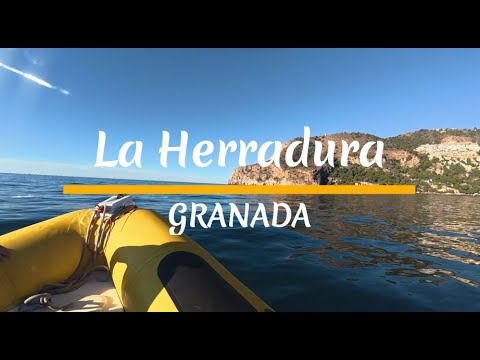
La Herradura and Marina del Este are famous among divers, and the diving centres here are considered some of the best in southern Spain. The seabed is rocky with caves, crevices and rich marine life. The schools offer everything from trial dives with your own instructor for beginners to courses and dives for the experienced – deep dives, night dives and wreck dives.

The horseshoe's great shipwreck
The bay also has a dark history. On 19 October 1562, a Spanish fleet of 28 galleys sought shelter in the bay from a storm. When the wind suddenly shifted, the ships were dashed against the rocks at Punta de la Mona, and 25 of them sank. Between three and five thousand people lost their lives – one of the greatest disasters in the history of the Spanish navy. The accident was so well known that Cervantes mentioned it in Don Quixote in 1615.
The beaches out there
In addition to the long beach in La Herradura itself, there are small beaches hidden between the cliffs. The outermost one, Playa de Cantarriján, lies right on the border of the Málaga province – part of the beach is for nudists.

Map of the sea
Red star = Playa Tropical. Click on a pin for name and distance. Map data © OpenStreetMap.
Open the route in Google Maps
- Drive to the beach in La HerraduraPark by the beach – this is where the kayak and diving rental is located.
- Drive to Marina del Este and the lighthouseThe marina and Punta de la Mona.
- The coastal trip to CantarrijánPast La Herradura and Cerro Gordo to the furthest beach.
The routes start at Playa Tropical. On mobile devices, they open directly in the Google Maps app, ready for navigation.
Always book with a provider that has trained guides and instructors. Keep an eye on the weather – westerly winds can make the sea choppy by the cliffs.
Sources
- Wikipedia (es): La Herradura – the lighthouse, nature reserve, diving centres and the shipwreck in 1562
- Yumping: Kayak La Herradura
- Barceló: Buceo en La Herradura
- Photos from Wikimedia Commons – photographer and license listed under each image