Europe's cherimoya country
The cherimoya arrived on this coast before 1751 and was cultivated around Motril, Salobreña and Almuñécar. Today, Spain accounts for around 80% of global production, and the fruit from this coast holds its own protected designation of origin. The best-known variety is called Fino de Jete – named after the village just up the valley.
The fruit is green with a scale-like skin, and inside the flesh is white, creamy and sweet – rather like a blend of pear, banana and pineapple. Pick them up at the market in Almuñécar and let them ripen for a couple of days on the kitchen counter.
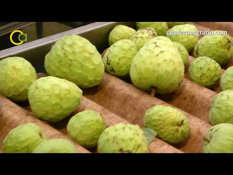 The cherimoya harvest on the Costa TropicalCuaderno Agrario
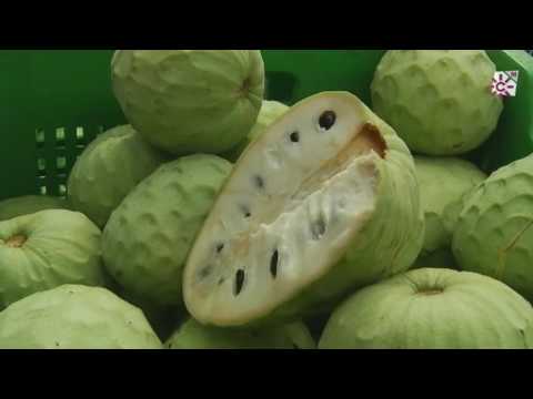 The cherimoya from the Vega de MotrilCanal Andalucia Cocina
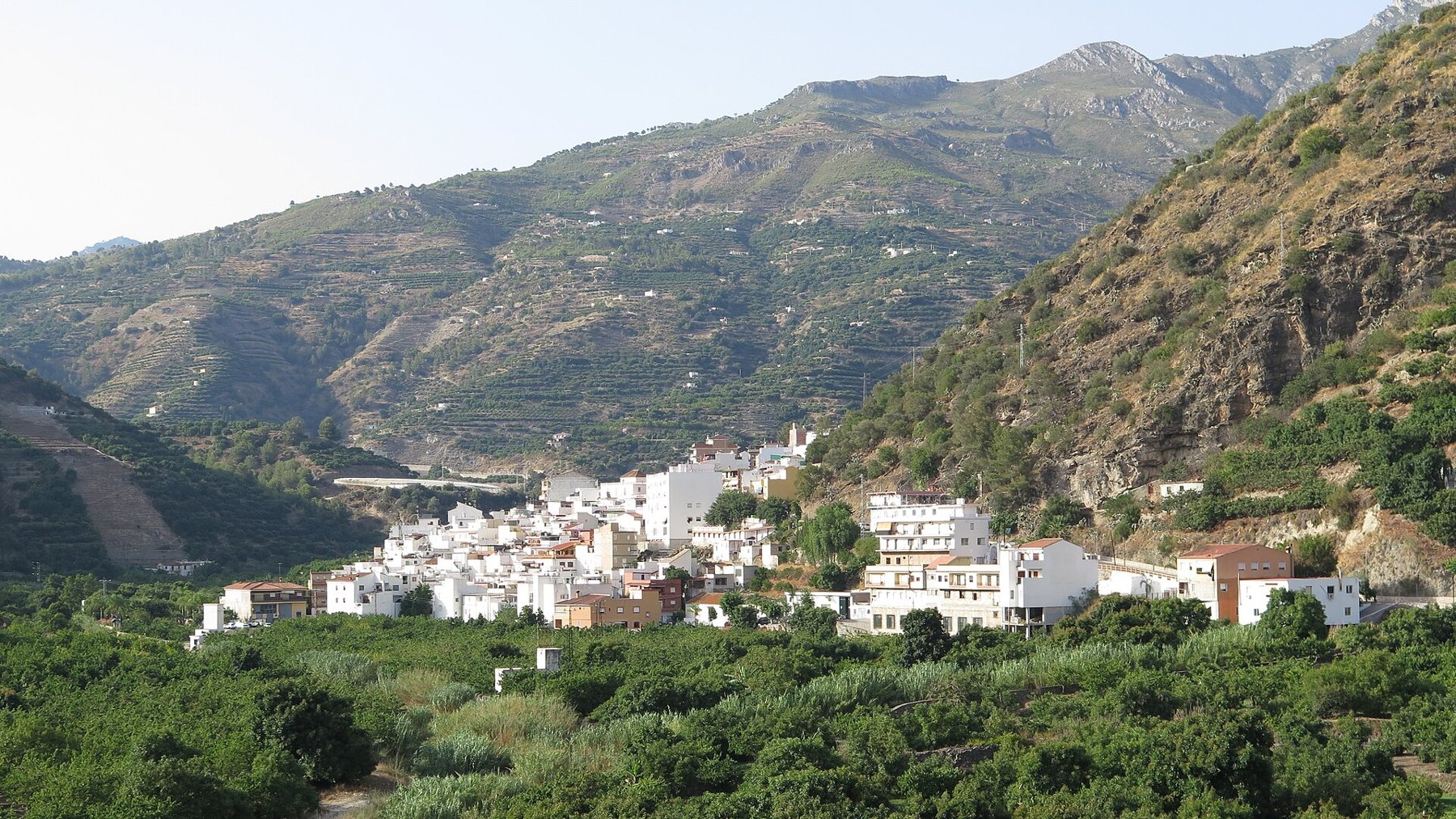
Jete
Jete sits about 120 metres above sea level in the middle of the valley, home to just under a thousand inhabitants. Before the cherimoya, it was grapes, raisins, figs and sugar cane that provided the local livelihood. Subtropical fruit farming took over during the last third of the 20th century and has made the village famous far beyond Spain.
Otívar and Lentegí
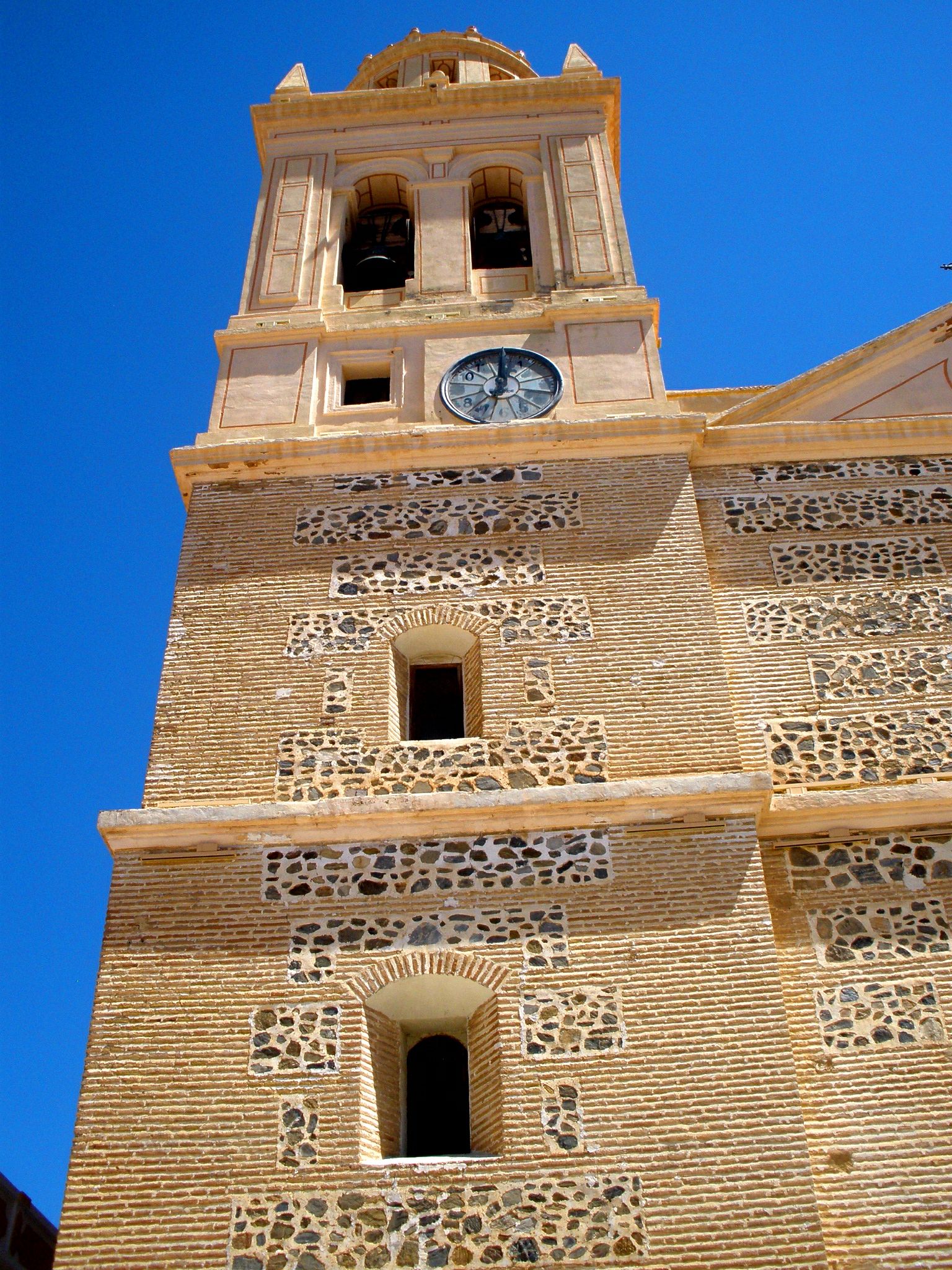
Further up lies Otívar, 266 metres above sea level, with the church of Iglesia de San José and around a thousand residents. This is the starting point for canyoning trips down the Río Verde gorge (see Canyoning in Río Verde).
Lentegí clings to the mountainside on the other side of the river. The village church, Nuestra Señora del Rosario, was built in 1543–1547 on the site where the Moorish mosque once stood. During the Morisco revolt in 1570, the village was burnt, and the church was rebuilt in the 17th century – with only the central of its original three naves. Today, Lentegí makes its living from subtropical fruit and nispero, the loquat.
The aqueduct among the orchards
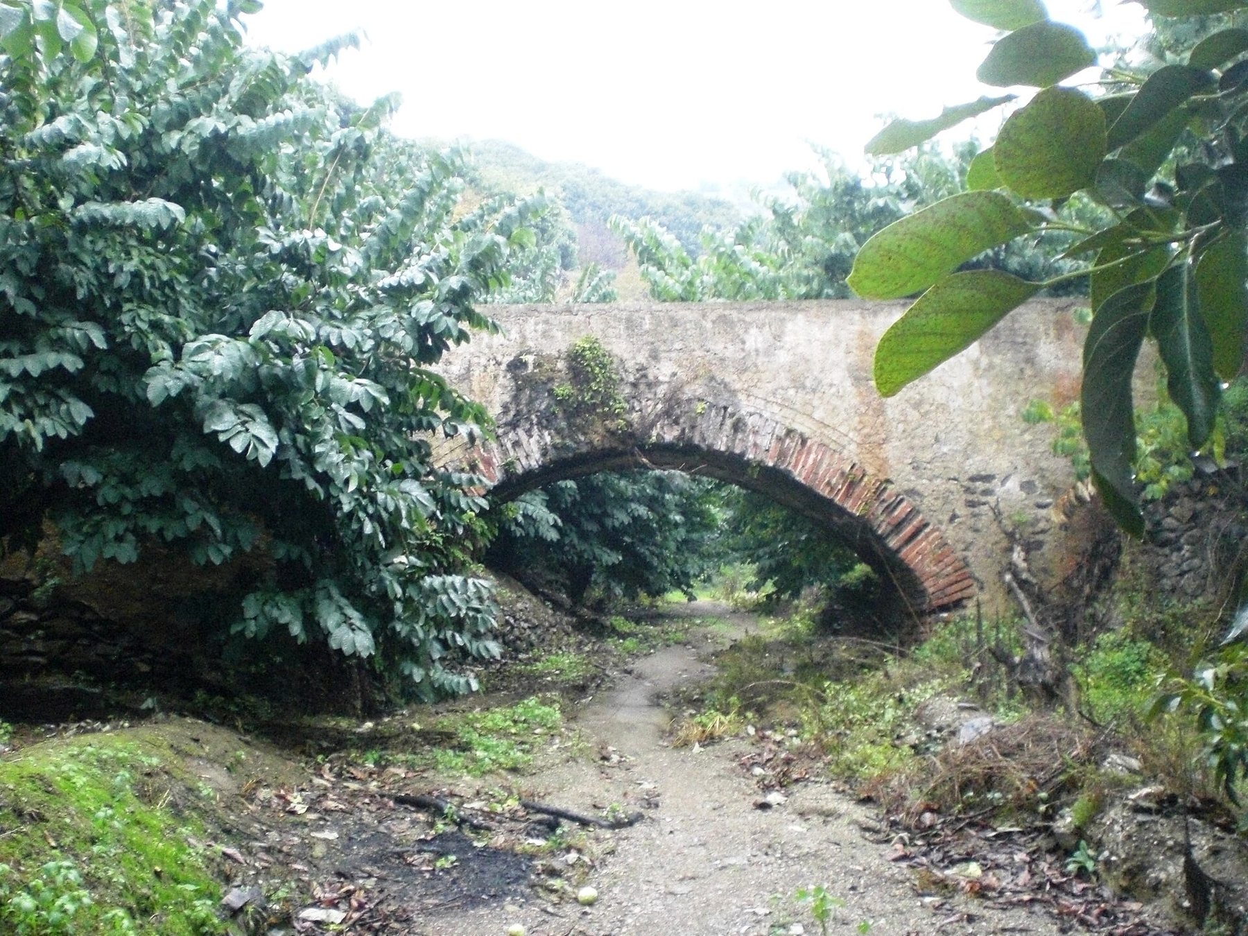
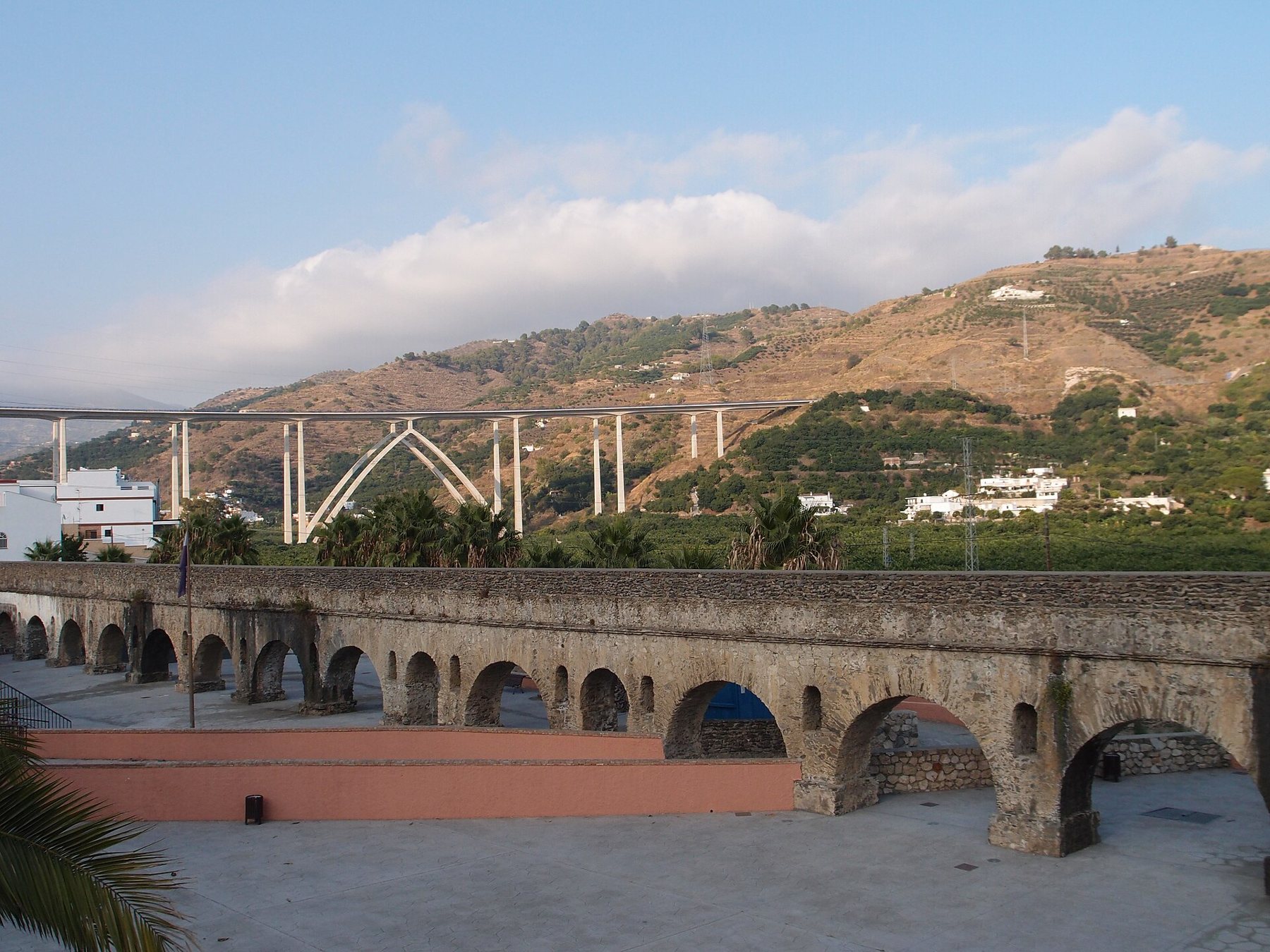
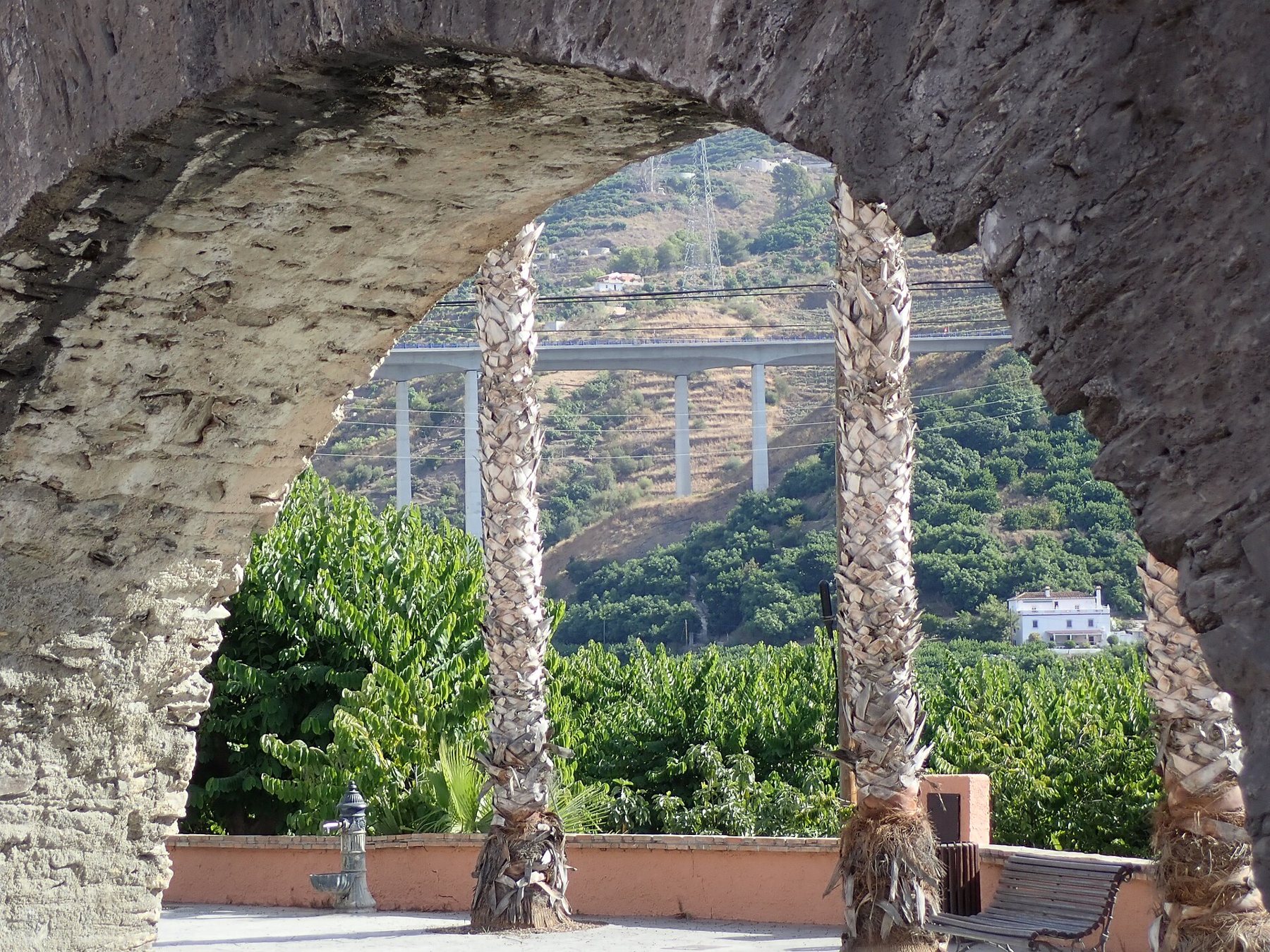
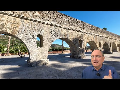
On the drive up into the valley, you pass one of the coast's grandest sights: the Roman aqueduct, which in the 1st century carried water from the Río Verde to the town of Sexi – Roman Almuñécar. It was about 7 kilometres long and is the best-preserved Roman aqueduct in Andalusia. The arches still stand at Torrecuevas and in three sections down in the Río Seco valley – set right amidst cherimoya, avocado and mango trees. Parts of the channel are still used to irrigate the fields.
Suggested day trip
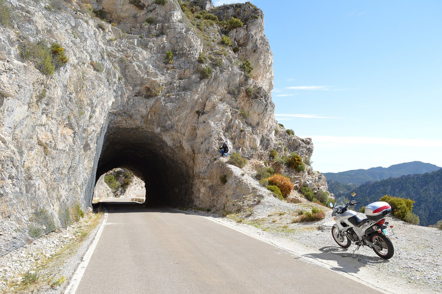
- Morning: Head out along Carretera de la Cabra (A-4050). Stop at the aqueduct at Torrecuevas after just a few kilometres.
- Mid-morning: Park in Jete and take a stroll along the farm tracks down towards the river among the orchards. In winter, cherimoyas hang heavy on the trees.
- Lunch: Continue up to Otívar and eat at one of the village bars by the church.
- Afternoon: Do the circuit walk along the Río Verde (approx. 7.4 km from km 28.7 on the A-4050), or drive up to the Mirador de la Cabra Montés viewpoint for sweeping panoramas over the valley and the sea.
Map of the valley
Red star = Playa Tropical. Click on a point for the name and distance. Map data © OpenStreetMap.
Open the route in Google Maps
The routes start at Playa Tropical. On mobile devices, they open directly in the Google Maps app, ready for navigation.
The orchards are private property. Keep to the roads and paths, and do not pick the fruit. Take plenty of water – even in winter, the sun can be strong in the valley.
Sources
- Wikipedia (es): Chirimoya – Fino de Jete and production in Spain
- Wikipedia (es): Jete · Otívar · Lentegí
- Wikipedia (es): Roman aqueduct of Sexi
- Andalucia.com: Sendero Río Verde
- Photos from Wikimedia Commons – photographer and license listed under each image